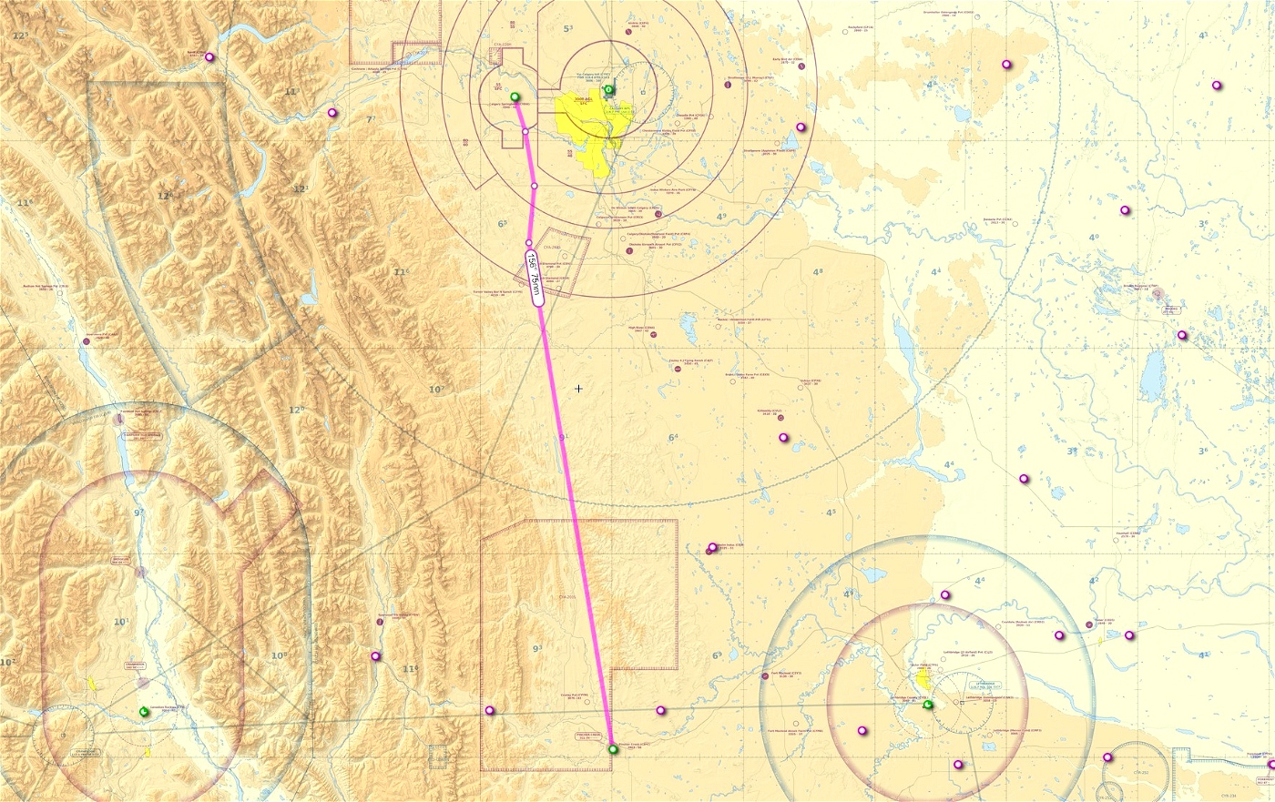
This is a VFR flight plan from Calgary Springbank to Pincher Creek. It uses the VRP's from the VFR terminal chart to get in and out of Calgary.
Flight distance 97 nm
Flight time: about 37 minutes in a DA-62
Minimum enroute altitude 7500 feet.
Reverse route is included...
To install simply place the .pln files into this directory:
C:\Users\User\AppData\Local\Packages\Microsoft.FlightSimulator_8wekyb3d8bbwe\LocalState
From the main map window in the sim you can then load the plan from the bottom menu. Your GPS will be all set to follow in NAV mode on your CDI.

 deltasim59er

