

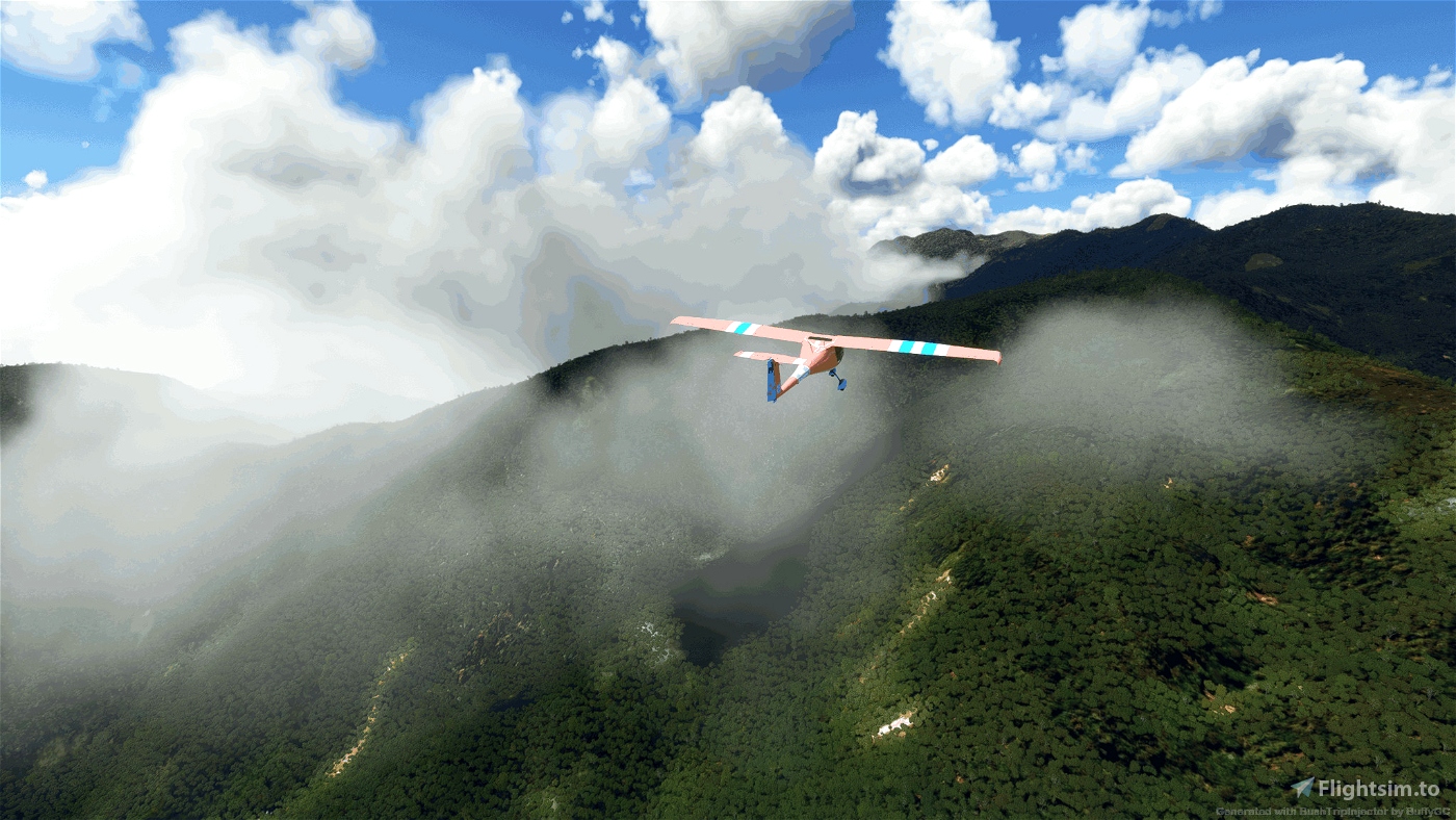
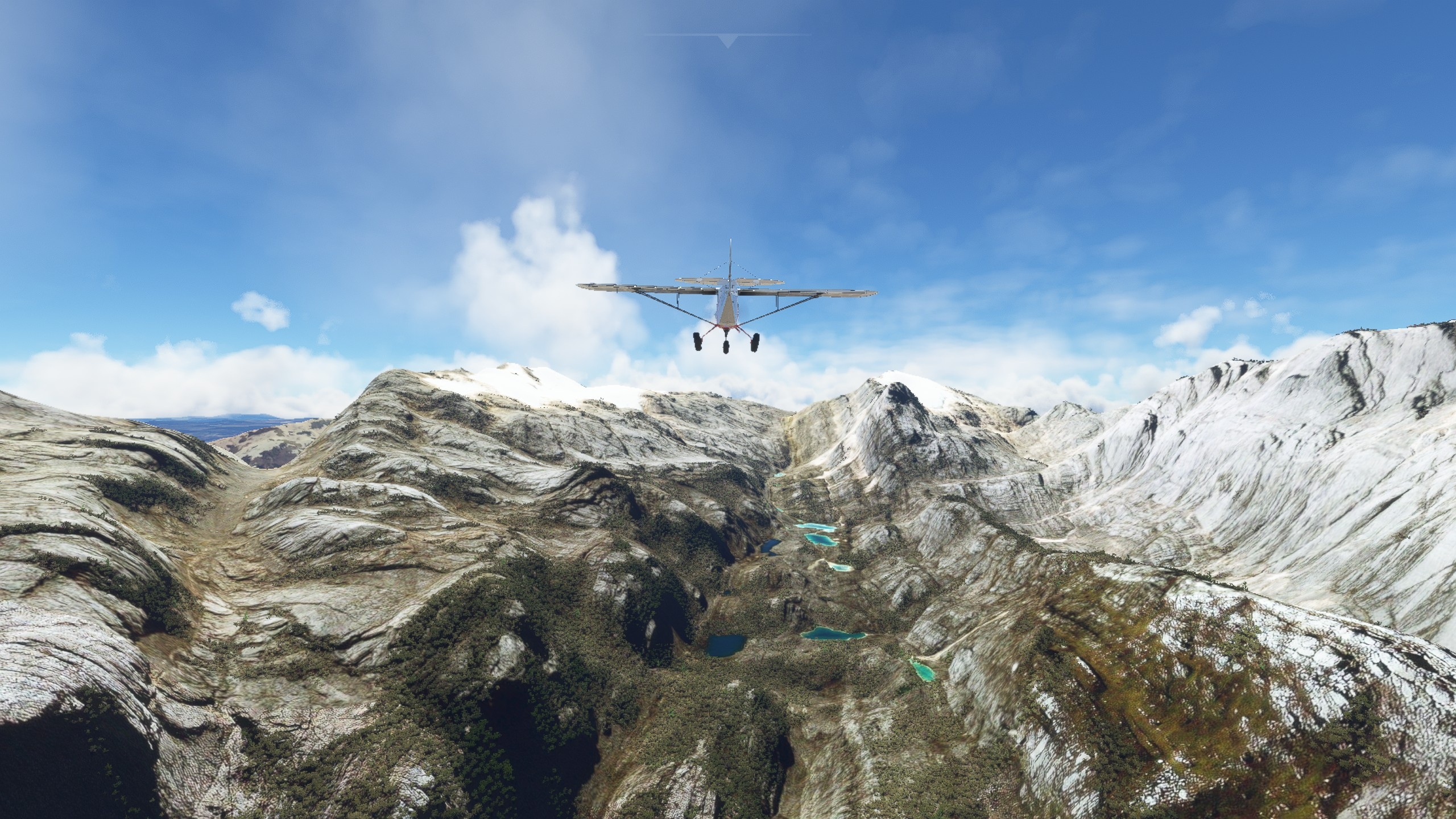
Welcome to the second largest island in the world (after Greenland). New Guinea measures roughly 1,500 miles in length by 400 miles at its widest. It is oriented west-northwest/east-southeast, and has a main spine of mountains, the New Guinea Highlands, that run its entire length. These peaks are some of the most rugged and heavily vegetated in the world.
The island has a long history of outside exploration and colonization. Due to its austere, extremely rugged nature, much of New Guinea’s interior has never been developed beyond simple trails and a few dirt airstrips – it remains largely untouched.
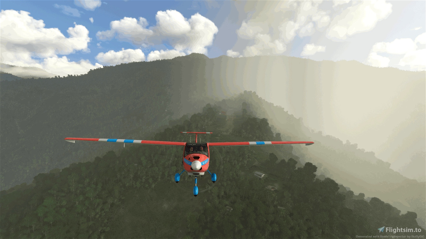
This trip goes into the heart of the most rugged and challenging regions of New Guinea.
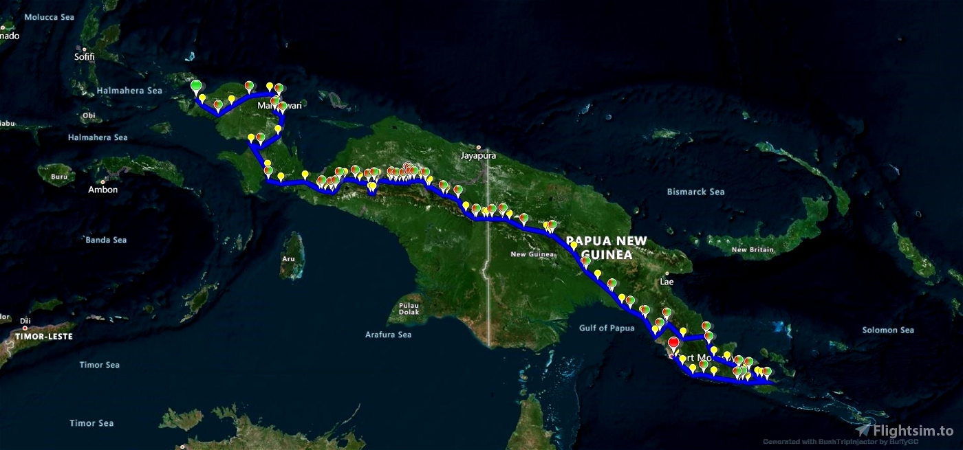
We start at the city of Sorong in the west of the Indonesian province of West Papua and cross into the independent state of Papua New Guinea and our exploration ends in Port Moresby the largest city and capital of PNG.
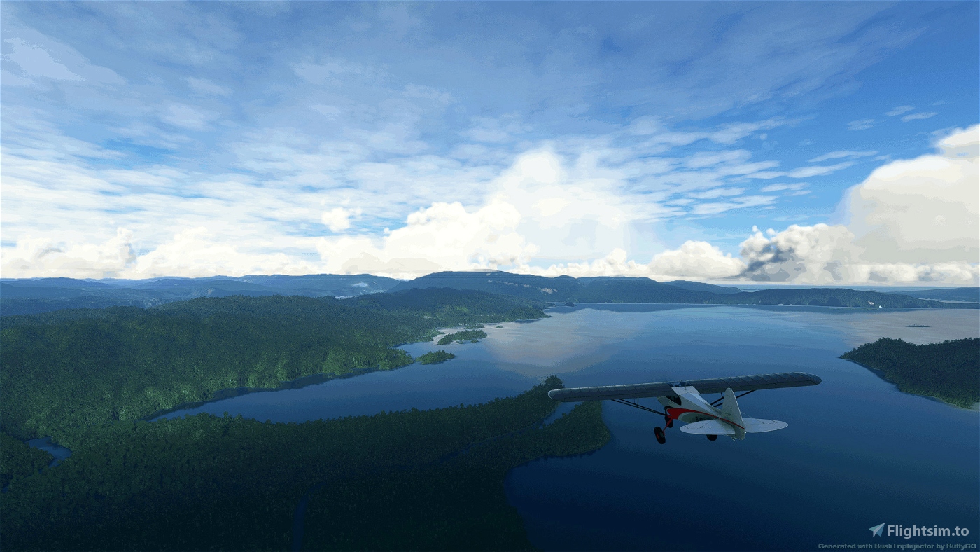
The route follows the line of the New Guinea Highlands. It is high enough to have equatorial glaciers. To the north and south of the mountains are vast lowland rainforests.
The first European to arrive was the Portuguese explorer Jorge de Meneses who saw the western tip of New Guinea in 1526–27. The first explorations by air was by Richard Archbold piloted by Russell R. Rogers in a PBY-1 Catalina flying boat. A number of reconnaissance flights were made in 1938-39.
You can choose either the Asobo NXCub or the Pipistrel Virus SW121. You may find the NXCub more challenging.
Navigation using landmarks is difficult so the flight requires some compass work.
If you get lost because the Flight Plan needs resetting:
in the Virus Locate the Garmin GNS 430 unit on the dashboard.
click the FPL button to display list of waypoints.
Right click the 'PUSH CRSR' button, this highlights the selected waypoint, then turn the outer ring to find the next waypoint/airport.
Click 'Menu' button,
'Activate Leg?' should be highlighted.
Click 'ENT' button to select the highlighted option
Click 'FPL' button to return to the map.
Don't forget to fill up on the way, you may have to take detours to find fuel. Switch tanks to avoid running out of fuel.
If you are flying the NXCub ensure you reduce mixture at altitude. You won't get over those mountains if you don't. Mixture is not ajustable on the Virus. Also adjust the propellor pitch, fine when taking off and coarse when cruising.
I have enabled Weather and ATC. The flight takes place in October which experiences longer sunshine. The weather will hopefully reflect the climate with sunny periods mixed with rain. You can change it if you wish but the rain makes for some exciting flying. You may find it is raining at take off but it will soon clear when you are off the groumd.
The flight is 1914 nm long and may take 15 hrs 21 min in the Cub and 16 hrs in the Virus. There are 48 legs some are very short. Some of the landings are exciting especially in bad weather.
Apologies for any language or spelling errors. Hope you enjoy this trip.
Installation:
Unpack the included folder from the package into the community folder. Restart the simulator.
Add-ons:
PuffinFlight We Love VFR - https://flightsim.to/file/52211/we-love-vfr-region-3
I'm sure there are other addons that could be used but I didn't use any on this trip
Credits:
As always, thanks to the excellent BushTripInjector by BUFFYGC
And the super Littlenavmap by Alexander Barthel
As usual visit these links at your own risk,
Google
Wikipedia
Sources:
https://en.wikipedia.org/wiki/West_Papua_(province)
https://westpapuastory.com/ransiki-west-papua-local-chocolate-that-reaches-the-international-market/
https://www.hydrocarbons-technology.com/projects/tangguh/
https://news.mongabay.com/2018/11/the-secret-deal-to-destroy-paradise/
http://www.roamindonesia.com/west-papua/
https://maf.org.au/latest-news/is-my-life-worth-it-a-story-from-papua-new-guinea/
https://franzdeassiz.blogspot.com/2012/06/mapia-pedalaman-papua-yang-tidak.html
https://culturecognition.com/new-page-3
https://pngaa.org/diwai-bilong-missis-kwin-keith-wall/
http://png.athabascau.ca/docs/tpv_vol4_no10.pdf
https://pacificwrecks.com/airfields/png/dobodura/index.html
https://www.usp.ac.fj/news/helping-the-keapara-community-deal-with-lived-reality-of-climate-change/
https://www.encyclopedia.com/humanities/encyclopedias-almanacs-transcripts-and-maps/abau

 bmjmod


For me it's a very difficult trip, I'm not expert and it's very difficult in mountains...... but a real bushtrip ...very nice.
Thanks !
Chris
8 months ago
xiand
Hi bmjmod,
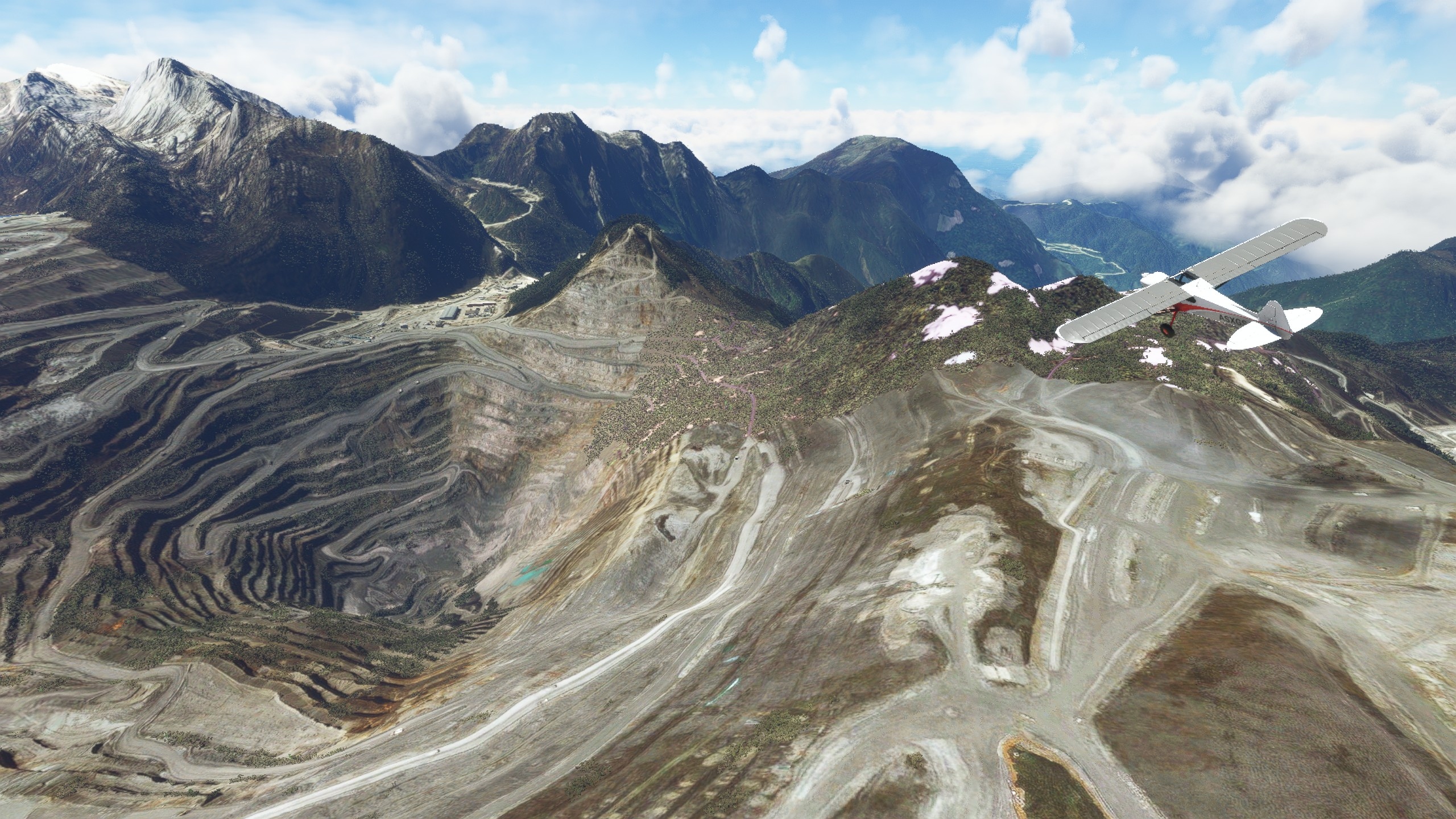
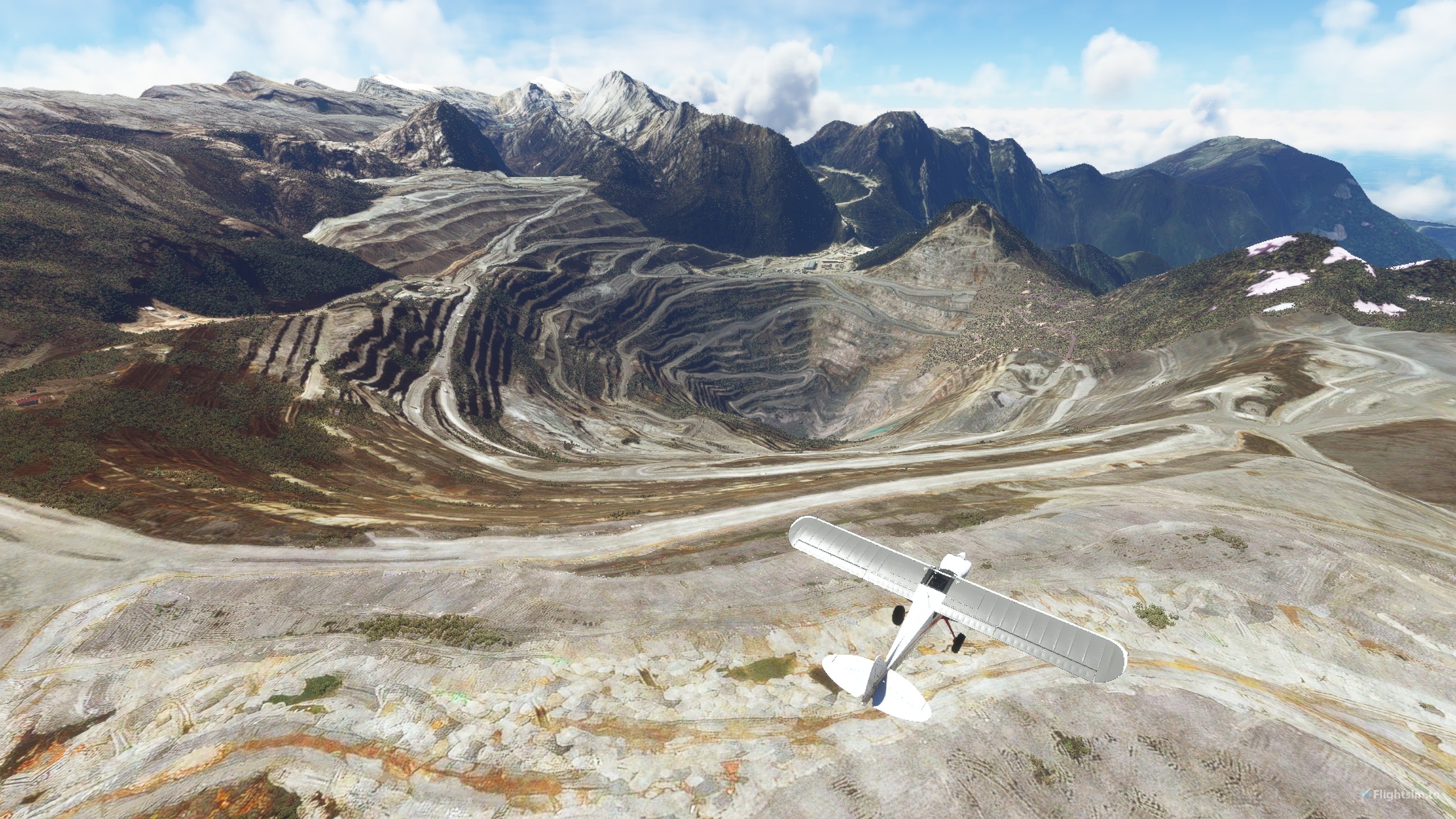
You gave this trip the right name - it really is a mega-trip, which gave me a lot of fun, but at the same time brought me to the brink of despair. The route you have chosen is fantastic. What you get to see: the high mountain peaks, the valleys, the rivers, the waterfalls, the small lakes on the mountain Ngga Nggulumbulu and much more, let you cheer inside. You put an incredible amount of effort into the research. I didn't know that there are still active gold mines there. I only know that a lot of blood was shed there because of the gold. At that time, German colonists also played a role and abused the indigenous people for their own purposes. You drew attention to environmental problems and illuminated the life of the local population, which I also liked very much.
You asked how the Busilmin airfield was doing. That was one of the airfields where I found it easy to take off and land - much easier than described in the story. In addition, the story that went with it was incredibly exciting and terrific. A person who, through his faith in God, rises above himself and does things that he might never have done without this courage and the hope that comes from faith. This gives courage and hope for real life as well. Very beautiful!!!
I could list more of what I enjoyed about this trip. In summary, I would say that you earned at least 10 stars with this. But not everything was good. Therefore I have to deduct a few stars.
A small mistake that sometimes happens to me: The plane flies without a crew. There is no pilot to be seen.
What annoyed me a little was the choice of weather. Here and there there were a few gaps in the clouds through which you could see a little bit - therefore completely unsuitable for VFR flights. I therefore soon switched to live weather. Fortunately you left us users this option. There were also clouds and rain areas, plus plenty of crosswinds and tailwinds when landing at airfields that are built into dead ends and can only be approached from one side. For me, this was a challenge that I gladly accepted.
Because the handbrake is not on by default, there was almost a crash. The airplane was on a slope and rolled back. Instead of briefly accelerating, I pressed the brake a little too late and the plane tipped backwards. Now I've got a crash, I thought, but fortunately the plane righted itself when I gave full throttle and the plane remained unharmed.
Since I am German, it would be very nice for me if you could translate the texts into other languages. That would make a lot of things easier.
After I finished the first slopes of Karubaga, I was so pissed off that I bit the keyboard and threw my Thrustmaster out the window (luckily the window was open). What spawn of hell got you there, damn it? You can't have us landing on the next runway every 5 miles! Most of the runways didn't even have fly-in lanes, they had fly-in barriers. There were what felt like the tallest trees in the world in the middle of a very short runway. Two or three times I put up with that, but not ten times in a row. With such short distances you don't get anywhere when you still have over 1,000 miles to go. You should definitely reconsider that. Please excuse me if I overreact at this point, but that was the moment when I didn't feel like continuing. But since I know that the southeastern part of the island is even more beautiful than the northwestern part, I went on again and I certainly didn't regret it.
Nothing for bad. You still have 5 stars, and you really deserve them.
10 months ago
10 months ago
bmjmod
Koschi
Flew the first 3 legs. What a great trip! Perfect choice of plane (NXCub). I'm flying it in VR with real world weather set. Listening to the Australian Broadcasting Corp radio from Darwin on Bush Talk Radio as I fly for even more immersion. Love the shorter legs. What an immense and beautiful island! Thank you!
10 months ago
tculhane