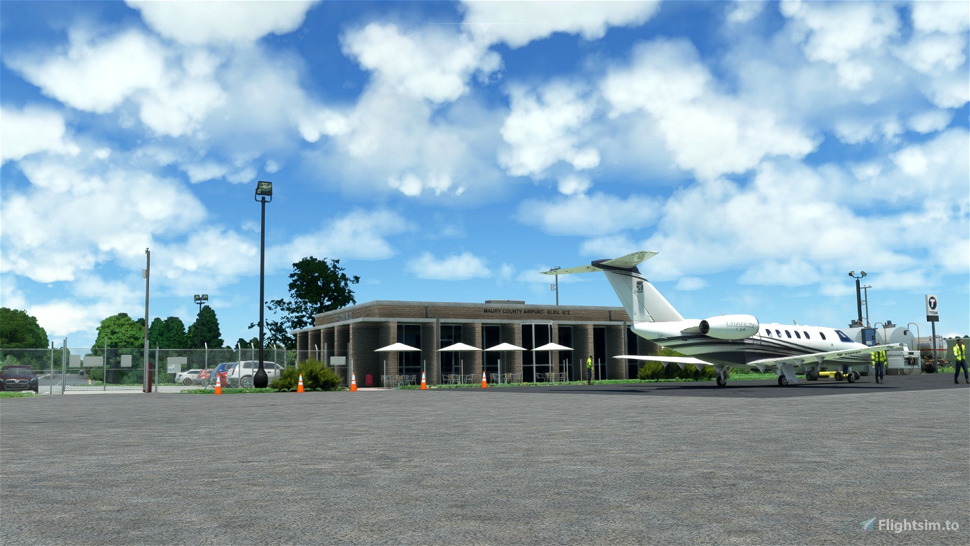
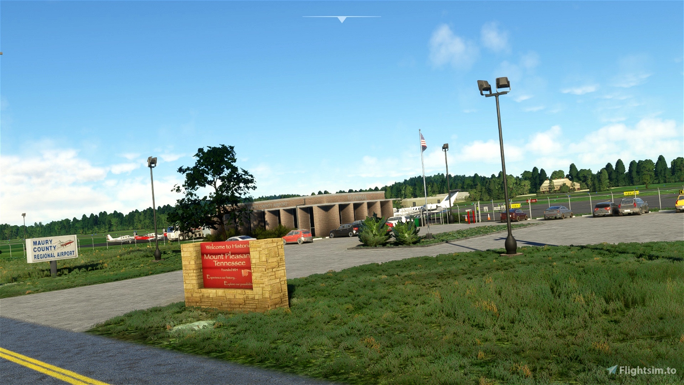
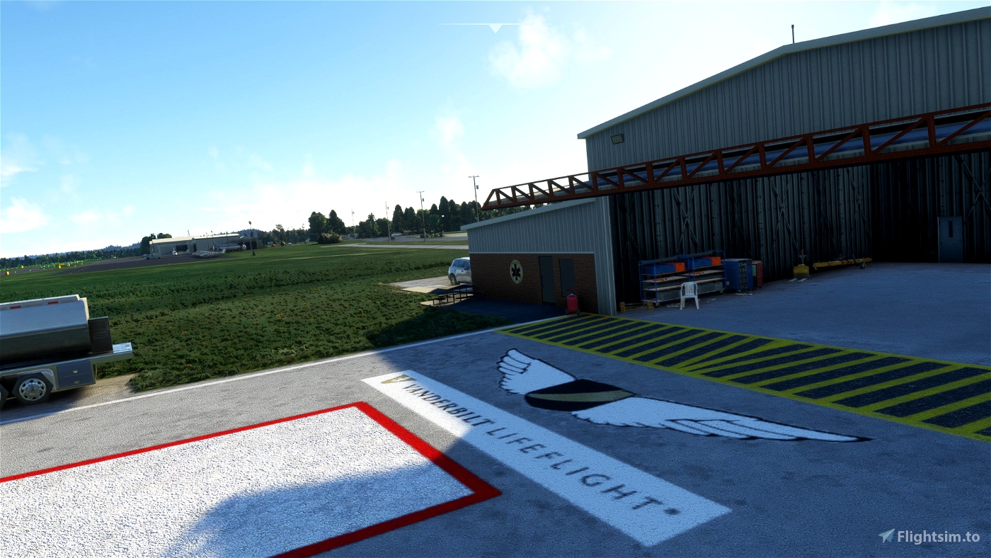

Maury County Airport is a county-owned public-use airport in Maury County, Tennessee, United States. It is located 2 nautical miles (3.7 km; 2.3 mi) northeast of the central business district of Mount Pleasant, Tennessee and 8 nautical miles (15 km; 9.2 mi) southwest of Columbia, Tennessee.
This airport is included in the National Plan of Integrated Airport Systems for 2011–2015, which categorized it as a general aviation airport.
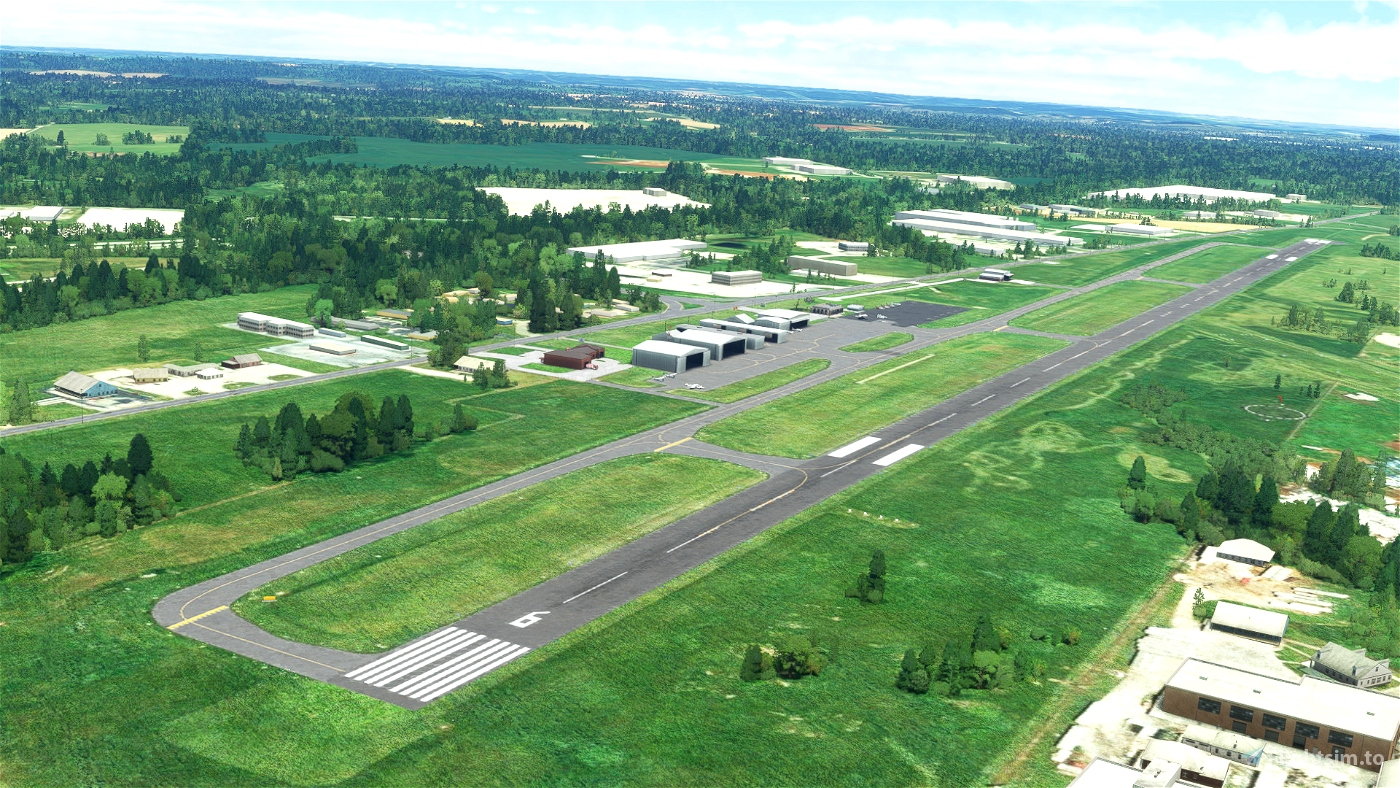
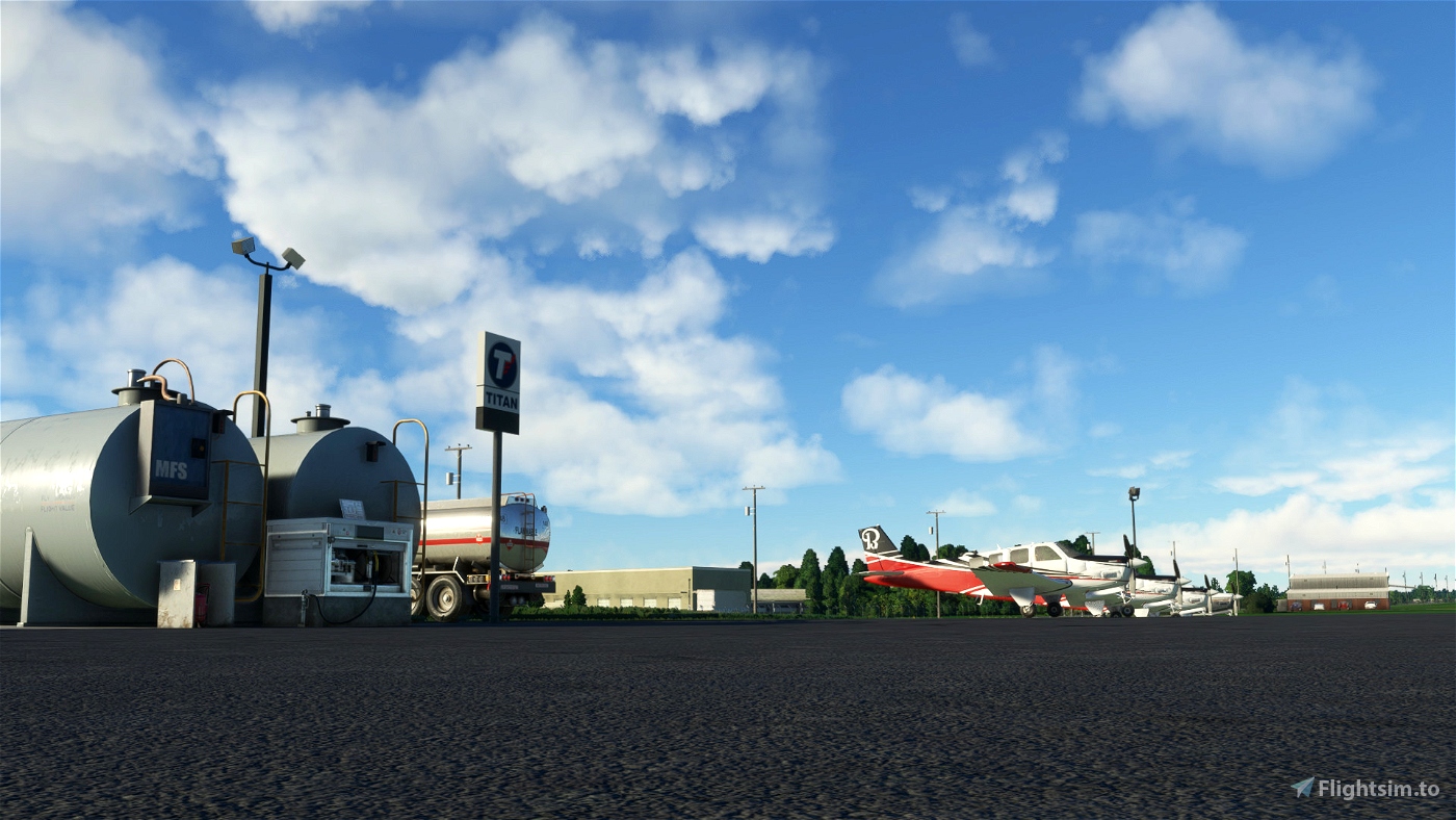
Maury County Airport covers an area of 188 acres (76 ha) at an elevation of 681 feet (208 m) above mean sea level. It has two runways: 6/24 is 6,000 by 100 feet (1,829 x 30 m) with an asphalt pavement and 17/35 is 1,811 by 150 feet (552 x 46 m) with a turf surface.
For the 12-month period ending June 29, 2010, the airport had 28,900 aircraft operations, an average of 79 per day: 78% general aviation, 19% air taxi, and 3% military. At that time there were 23 aircraft based at this airport: 65% single-engine, 26% multi-engine, 4% jet, and 4% helicopter.
NOTICE TO ALL AIRMEN:
- More updates to come! Please enjoy the 1st release.
- You might need the Memmingen Airport (EDJA) and Merrill Meigs (KCGX) from the Content Manager
DONATIONS:
You can send your support through here! PAYPAL

 TurtleTank1997


CaptainMoonlight
YankeeTendy35
TopGunMav22
7 months ago