CYPO Peawanuck, Ontario, Canada scenery enhancement for Microsoft Flight Simulator 2020.
VERSION 1.0 - May 2023
FREE AND EXCLUSIVE TO FLIGHTSIM.TO (If you find this file elsewhere, let me know).
Scenery:
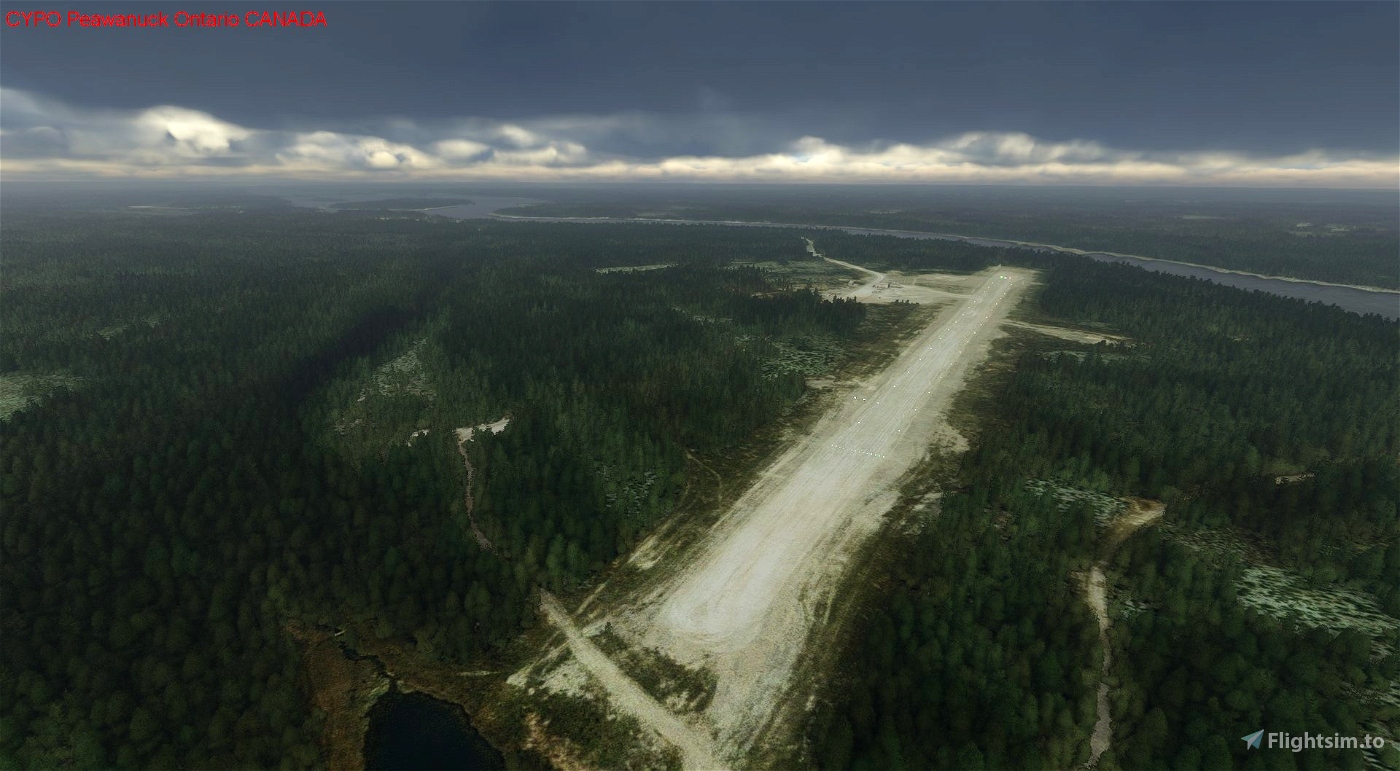
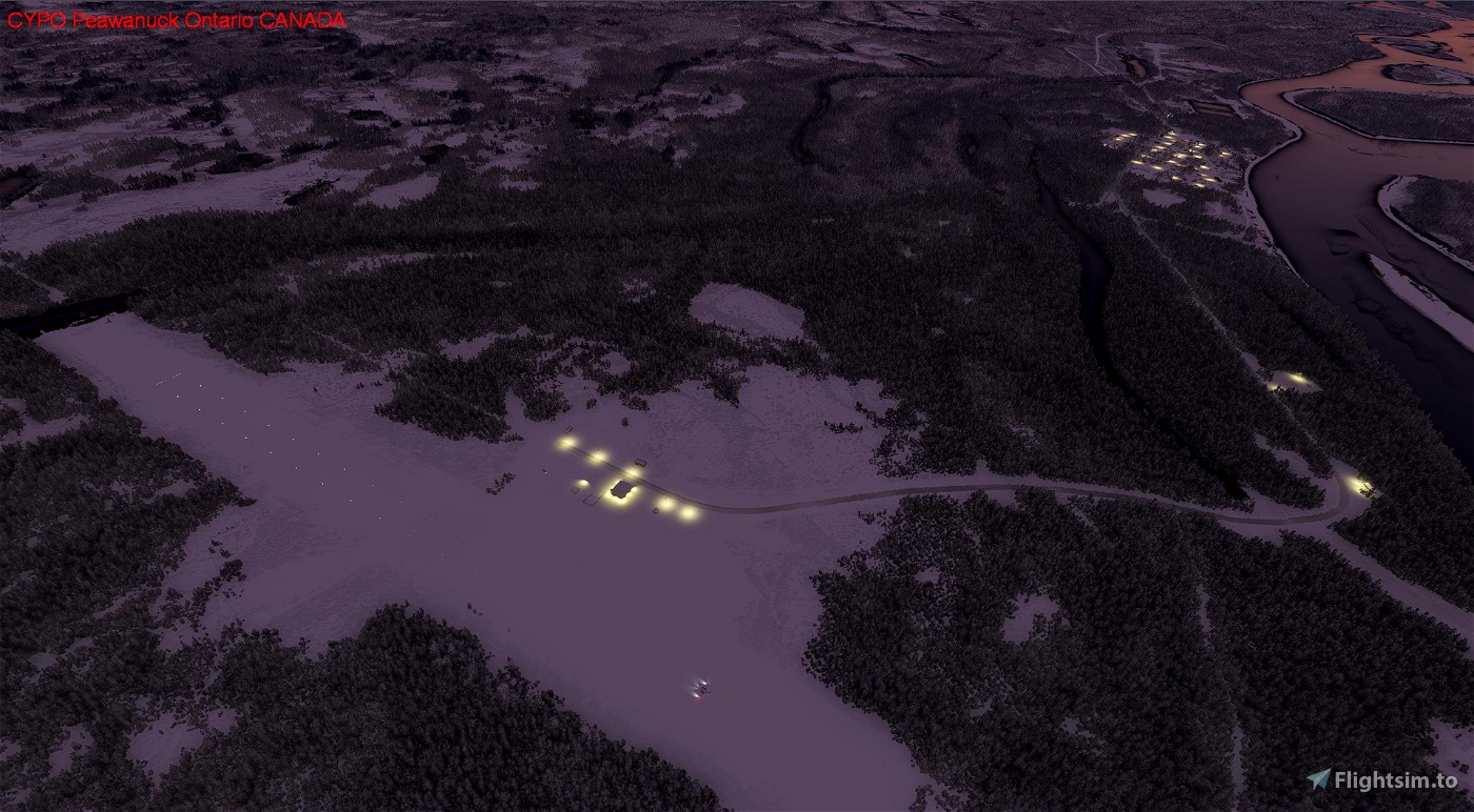
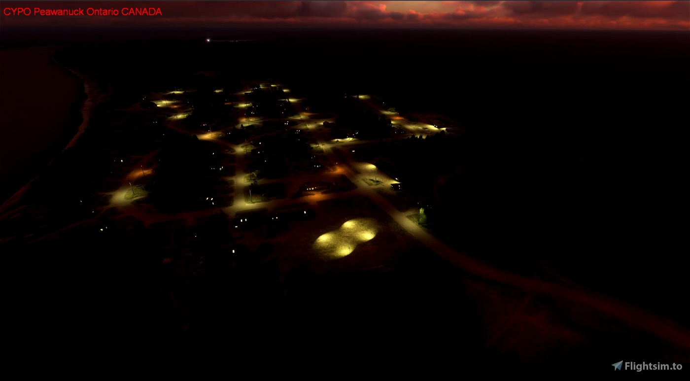
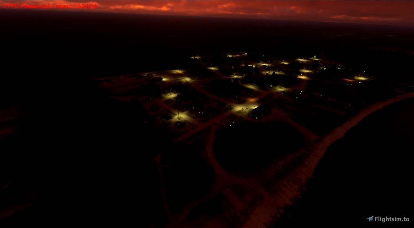
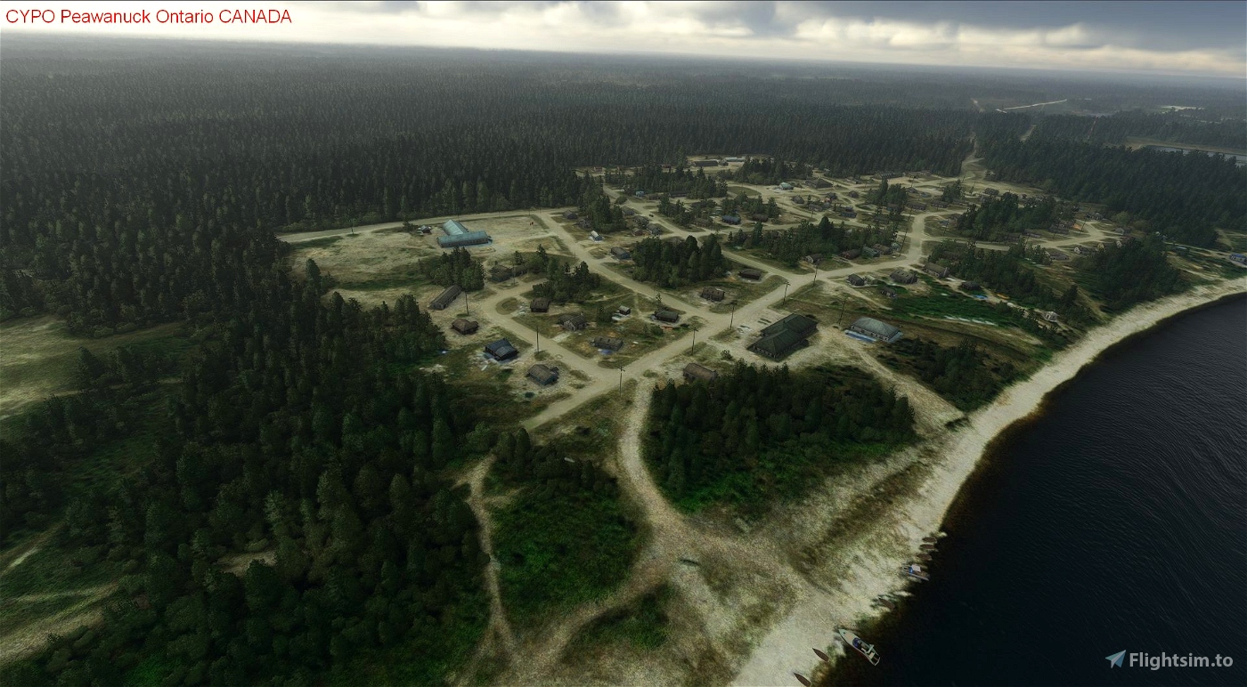
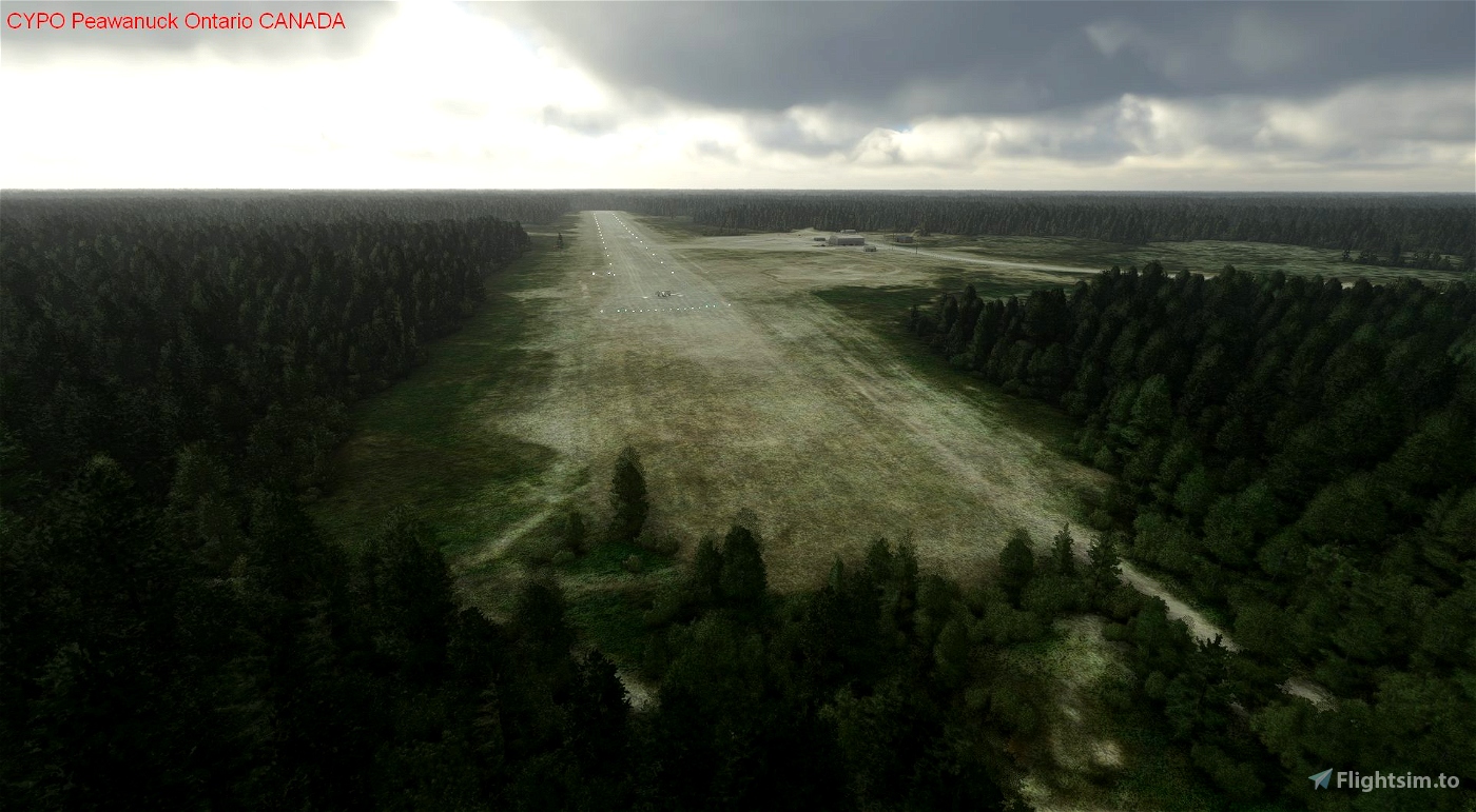
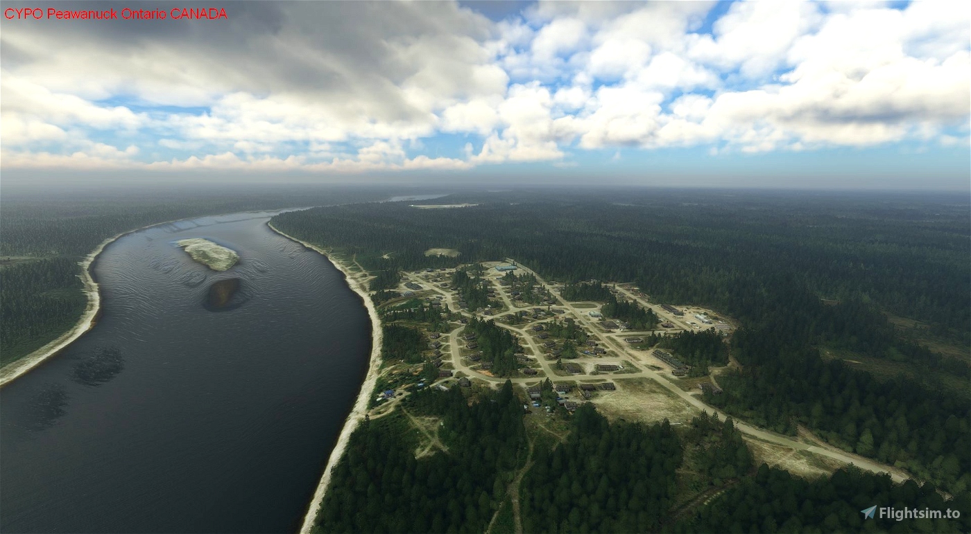
In the default scenery, Peawanuck airport exists. This scenery adds scenery to the airstrip and the surroundings, including scenery within the town of Peawanuck to the north of the airstrip. This scenery was created using information from the Canadian Flight Supplement and Canada Air Pilot (expired editions), and an examination of various internet mapping sites. At this time, this scenery uses only default SDK elements and each has been placed at appropriate locations by examining the information sources listed above and personal memory.
Location details of the airport:
* ICAO: CYPO
* IATA: YPO
* Airport location: 54-59 N, 85-27 W (54.988000, -85.443500)
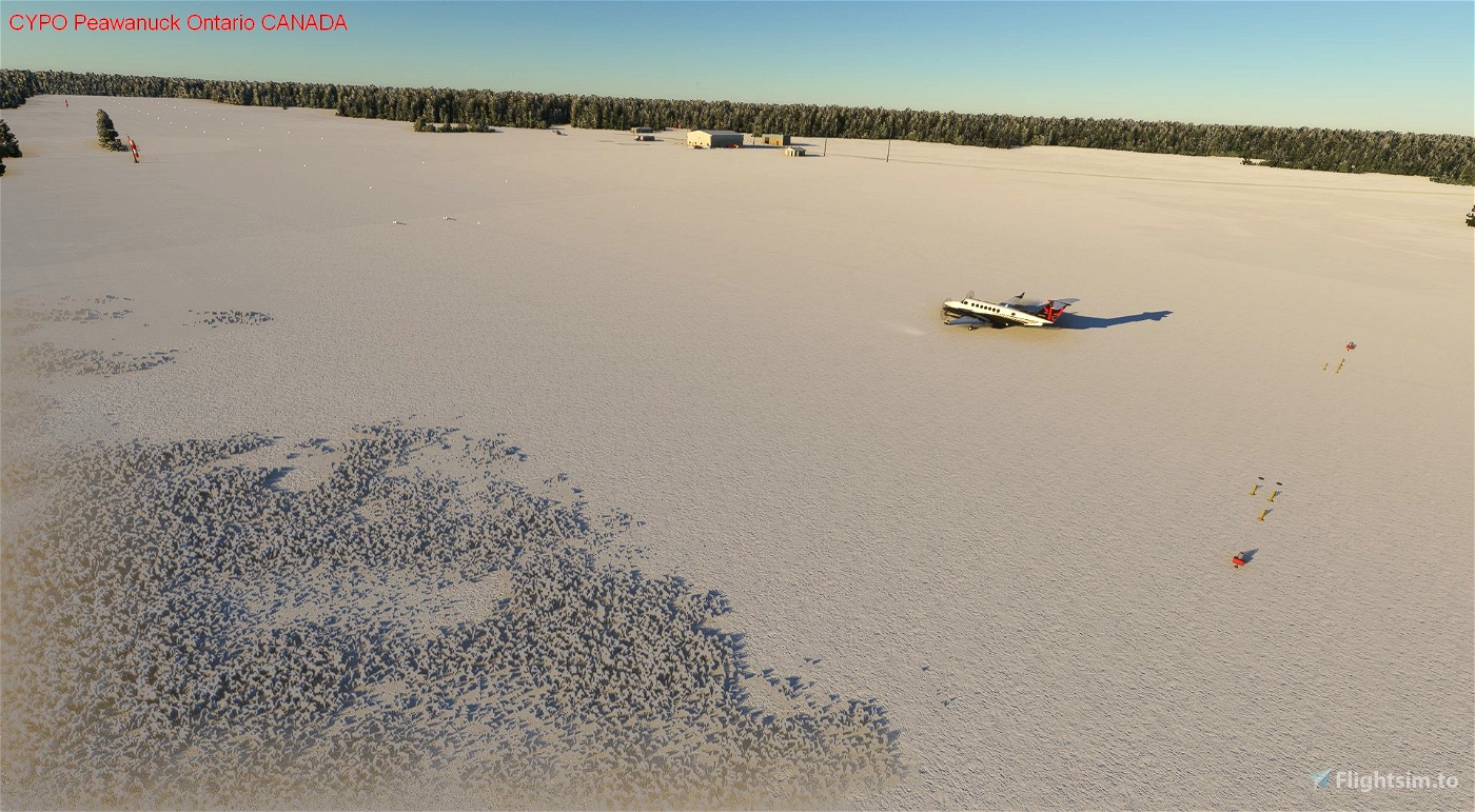
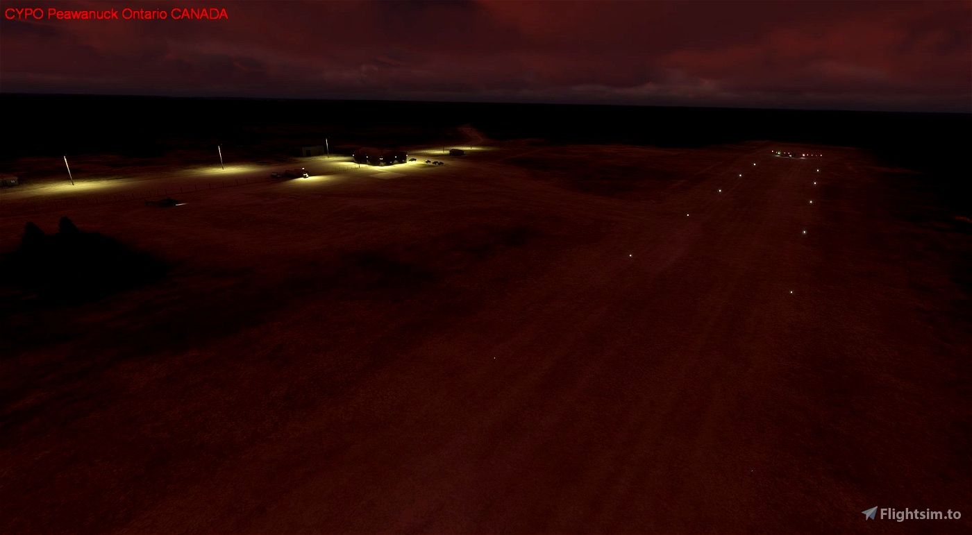
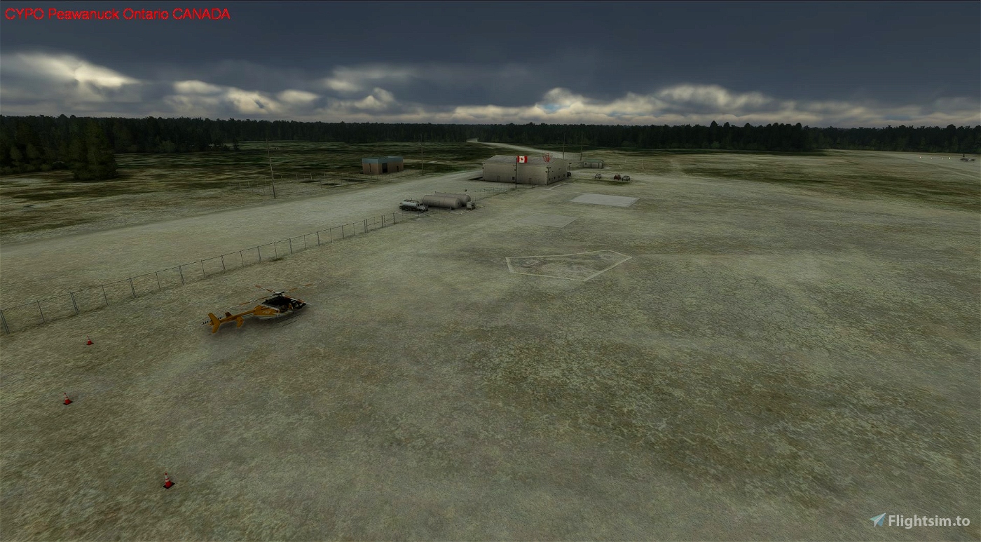
CYPO Peawanuck Airport scenery includes items placed at accurate locations:
* runway and associated lighting (including PAPIs).
* windsocks.
* northern perimeter fencing with gates at actual locations.
* airport details fuel tanks, fuelers, vehicles and a helicopter...
* NDB antenna north of the airport.
Scenery placed at actual locations include:
* telephone poles, road signs, containers, fuel tanks.
Improvements to come:
* At CYPO Peawanuck Airport:
- tree modification.
- improved building renditions.
- improved lighting.
- more scenery details on the airport.
* Adjusting night lighting.
- Add anti-collision lighting to the two towers.
* Addition of Points of Interest (POIs) identifying nearby features.
Installation:
Place the folder in your community folder. I hope you enjoy the enhanced scenery for far northern Ontario.
Peawanuck Airport is located approximately:
* 3 km south of Peawanuck, Ontario, Canada townsite.
* 33 km southwest of CYWN Winisk, Ontario, Canada airport (abandonded but scenery has been created by myself and is available on Flightsim.to).
* 34 km southwest of the abandoned Winisk, Ontario, Canada townsite.
* 181 km southeast of CYER Fort Severn, Ontario, Canada Airport.
* 264 km northeast of CYQT Kasabonika, Ontario, Canada Airport.
* 302 km northwest of CYAT Attawapiskat, Ontario, Canada Airport.
* 766 km northwest of CYTS Timmins, Ontario, Canada Airport.
History:
Peawanuck was created in 1987 after the Winisk Flood forced the Cree Weenusk First Nation to abandon the site. Peawanuck is 33 km upriver from Winisk where approximately 210 people now reside. Peawanuck means "flintstone" in Cree. It is the headquarters to Polar Bear Provincial Park. There are no all-year roads connecting Peawanuck with the rest of Ontario. Therefore, the airport is a key connection to the rest of the world, including to medical services in Timmins or Kingston.
ARH64CDN - contact on flightsim.to or www.flightsimulator.com
May 2023

 ARH64CDN


2 months ago
CaptainMoonlight