


Odense Airport - Hans Christian Andersen Airport - EKOD
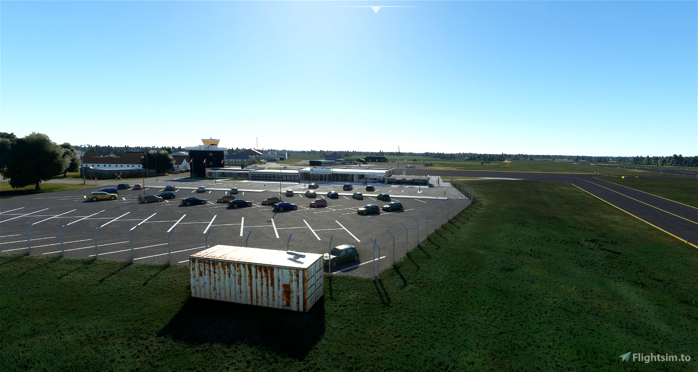
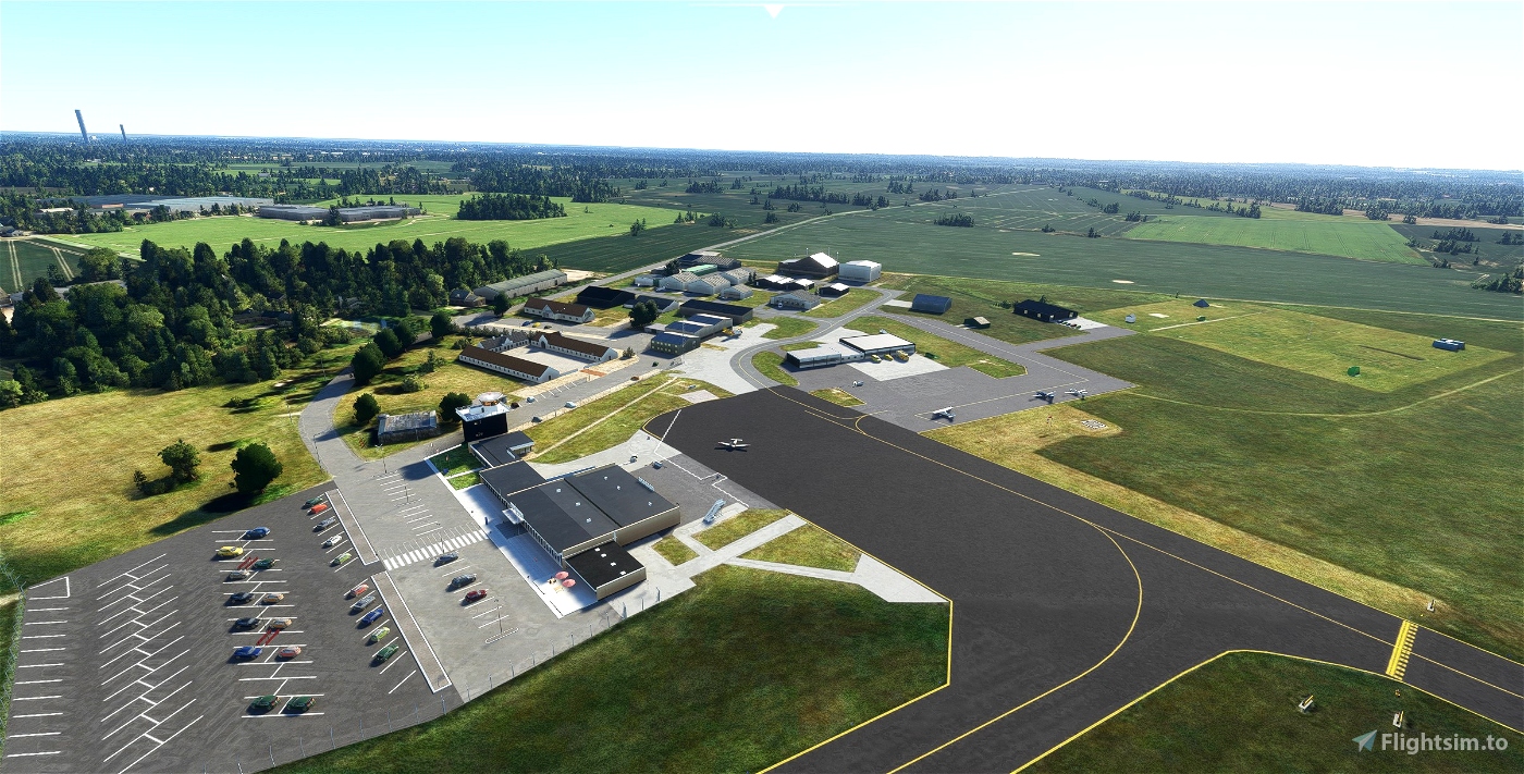
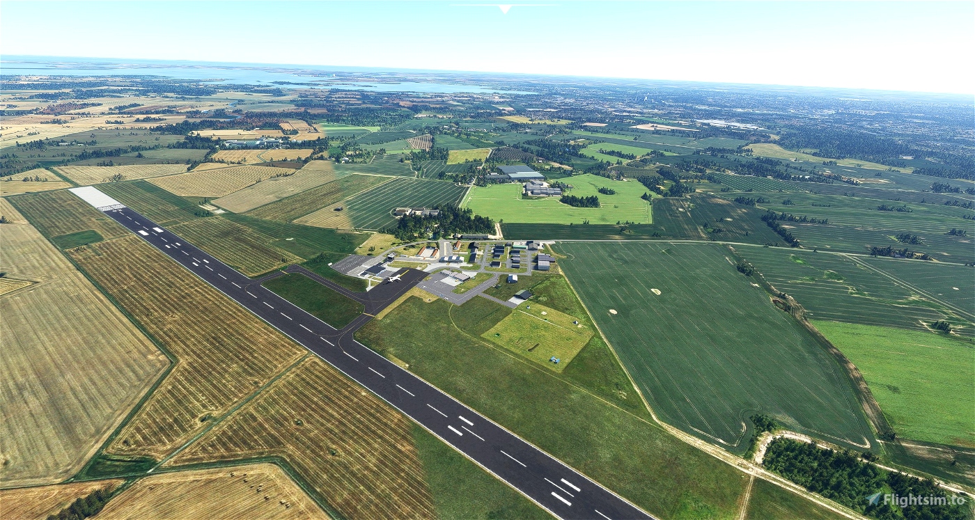
Odense Airport is located in the northern part of Fyn - in the middel of Denmark.
It was built during the 2. world war but never used in the war.
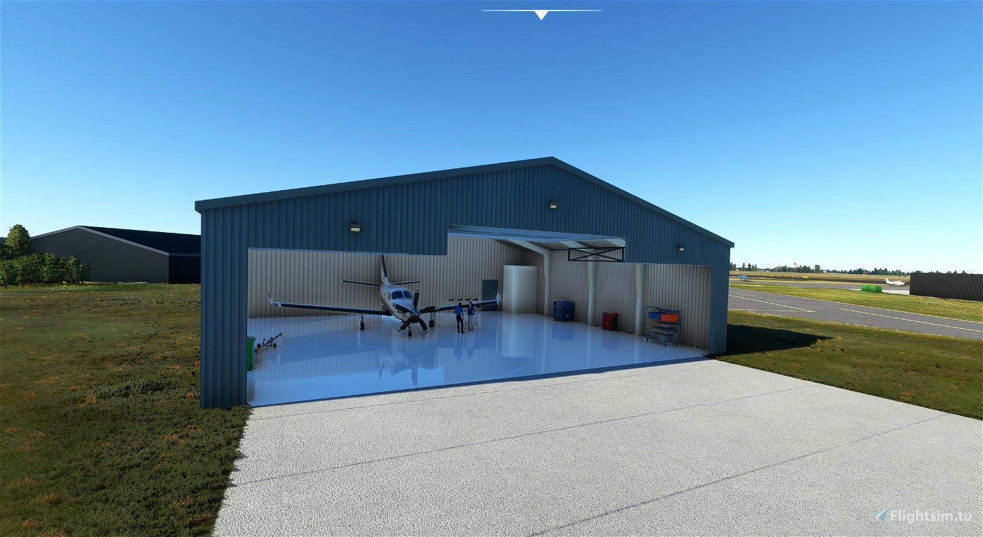
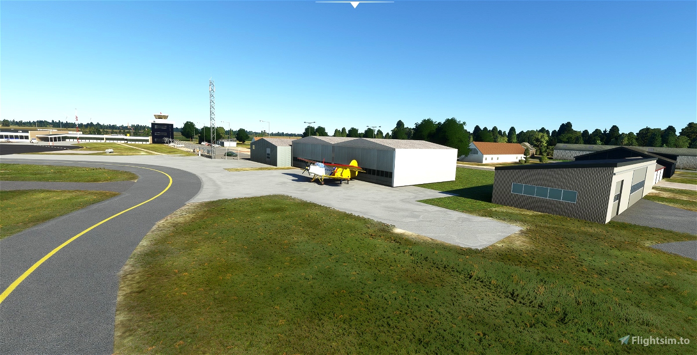
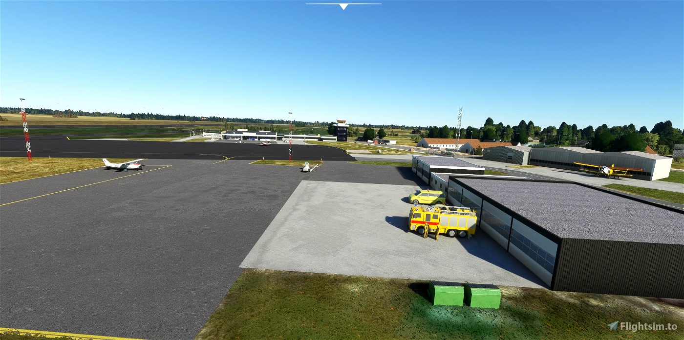
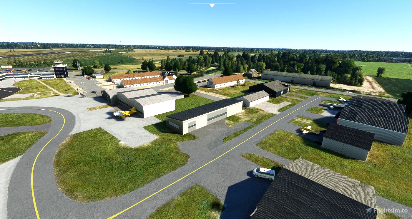
Today is serves GA traffic and commercial charter traffic during the summer and a home for paragliders. During the last couple fo years it has become home for various Drone companies including development/test and radar development. There is s specific area for Drones left for the Firestation.
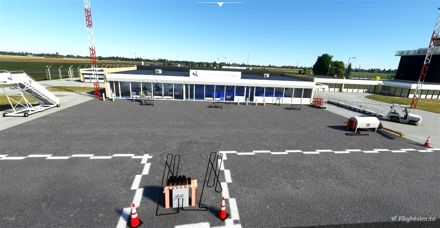
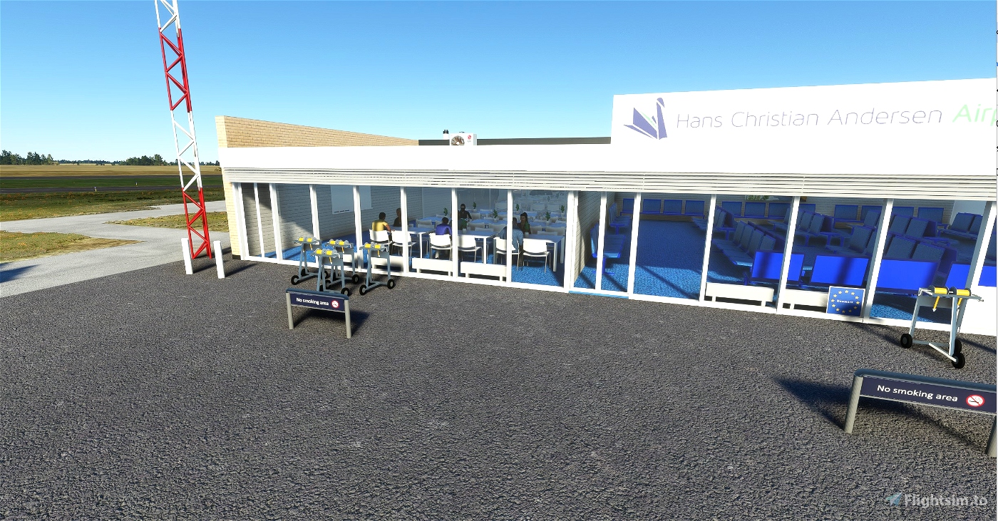
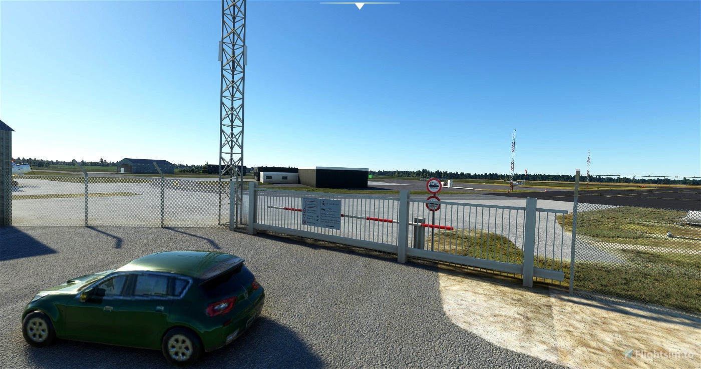
The airport is created based pictures from outside the airport, unfortunately we was not allowed to enter the airside to take pictures.
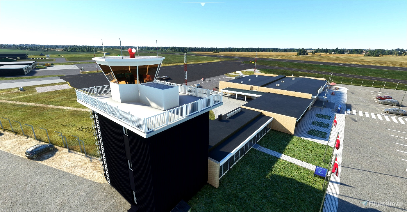
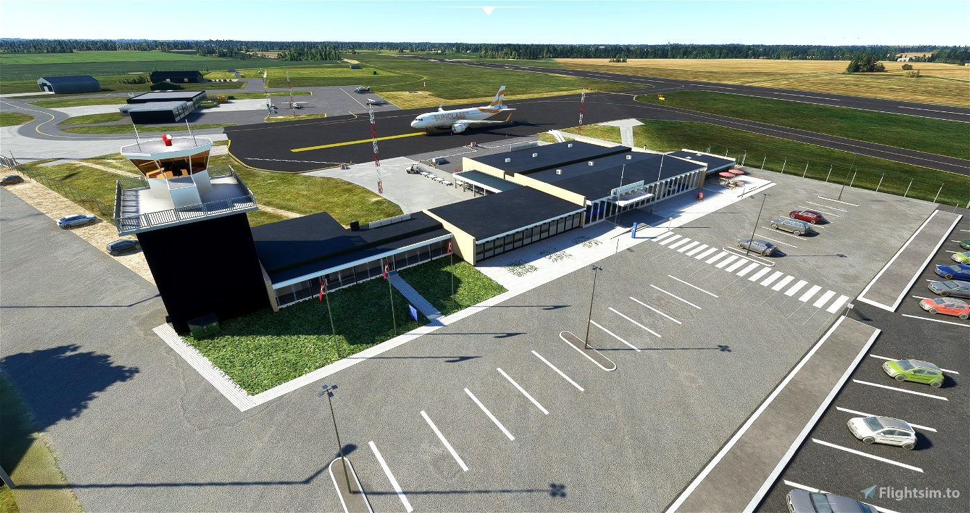
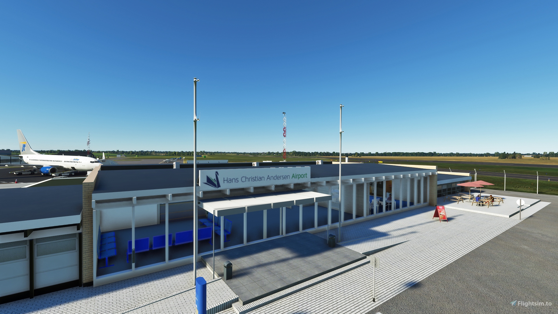
This Airport is created and designed together with Marc Nøhr who have made a very detailed Terminal, Office and Tower. It wouldent be possible without his great help and insigt.
Please remember dependencies, they are the same for the most of my airports.
Included also a GSX Pro file if you wish to use this. Place it in : C:\Users\*NAME*\AppData\Roaming\virtuali\GSX\MSFS
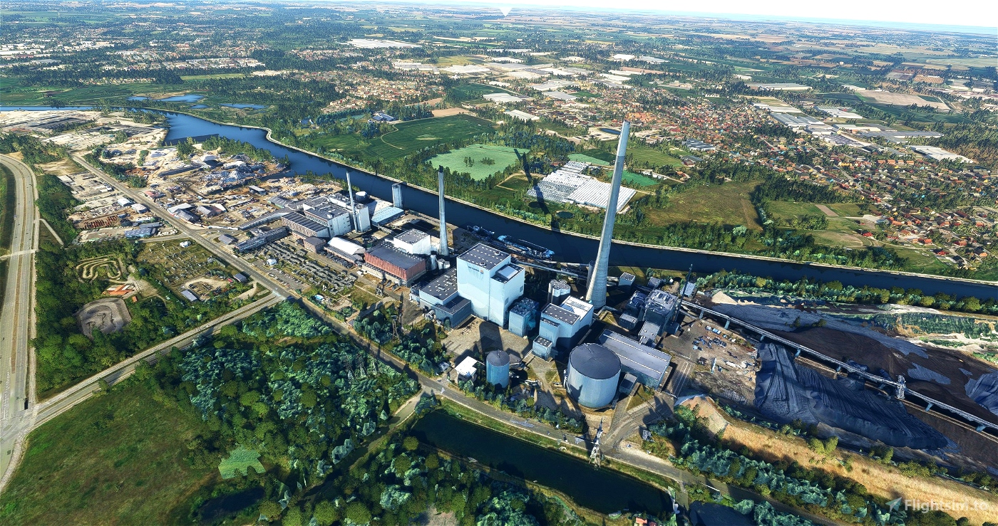
It also includes the district heating plant just outside Odense, and some buildings and crane at Odense Shipyard - Lindø

 chansen


6 months ago
SAS58
7 months ago
kapazunder33
Thanks for another great airport in 🇩🇰.
Just triede flying into it. Very very nice.
1 years ago
GadgetPilot
A very nice scenery. I love it!
But there is something wrong with the GSX-ini.
I will send You a screenshot via private messages.
1 years ago
Please see this updated GSX file
https://flightsim.to/file/51788/gsx-profile-ekod-odense-airport-hca-airport
1 years ago
chansen
GAF5006
Den er godkendt!!! 😀 5 velfortjente stjerner (og igen, TAK)!!! ;D
1 years ago
Tak !! ;-) og selv tak !
1 years ago
chansen
JGE_DK