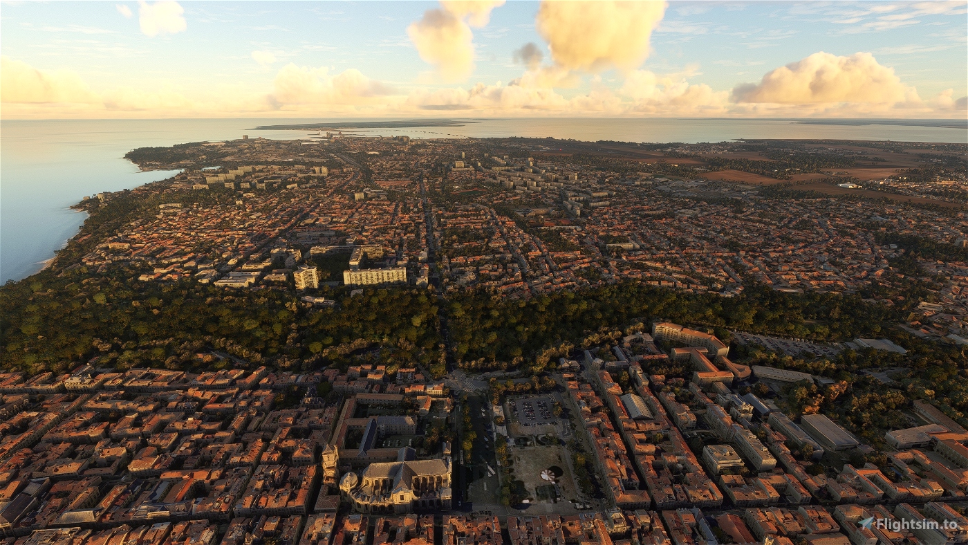
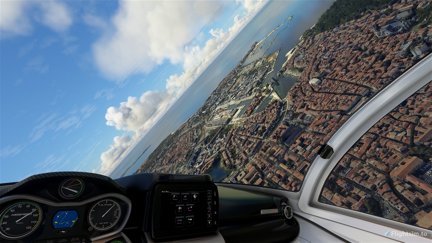
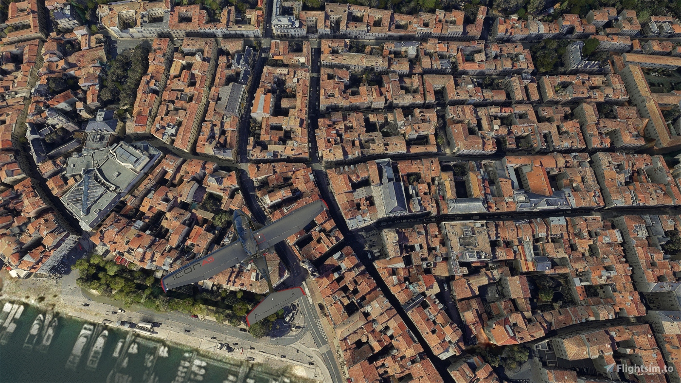
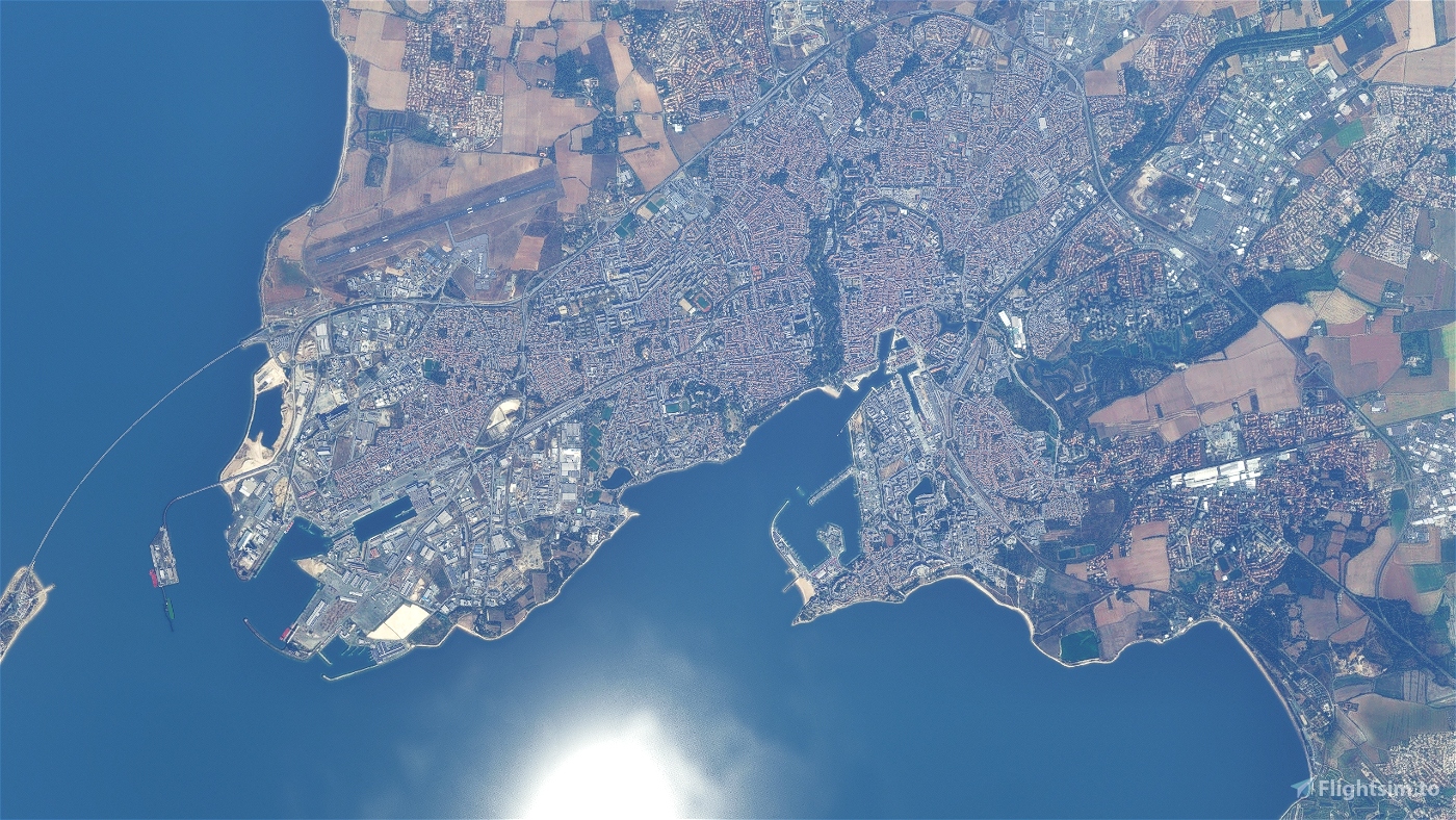
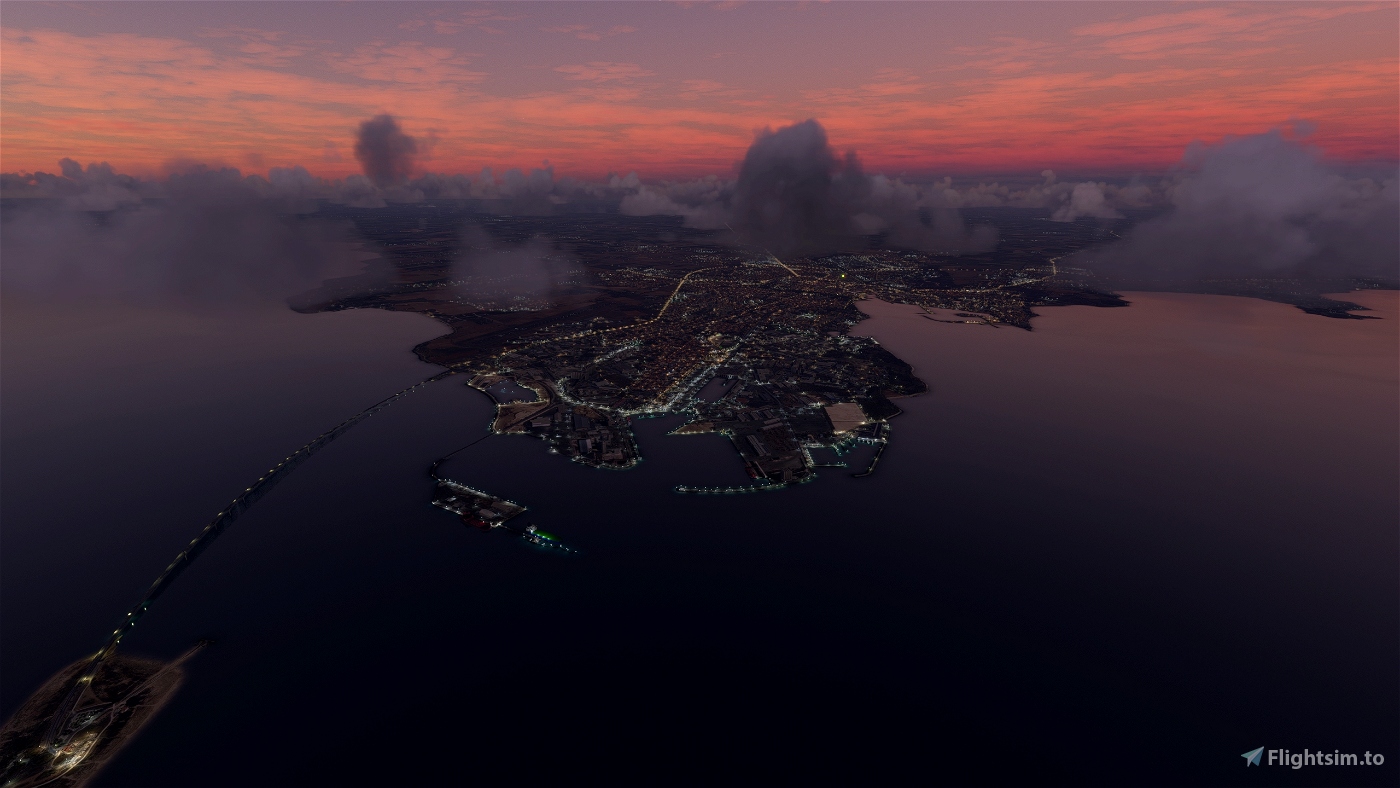

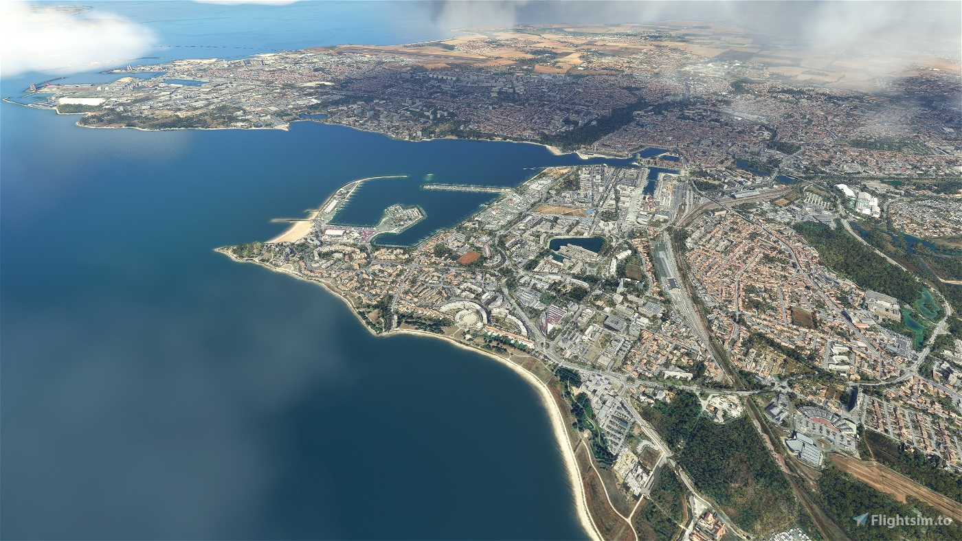
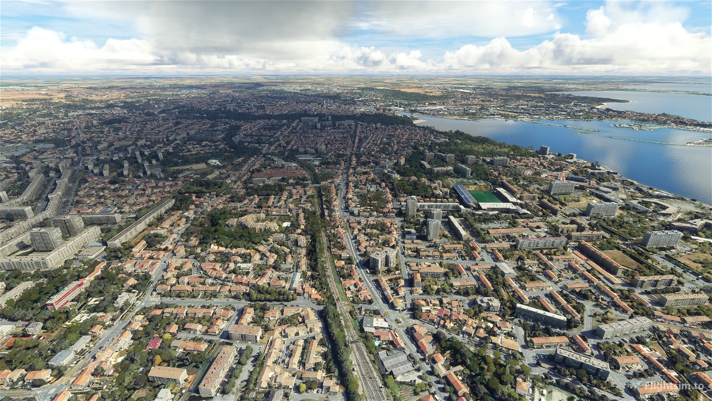
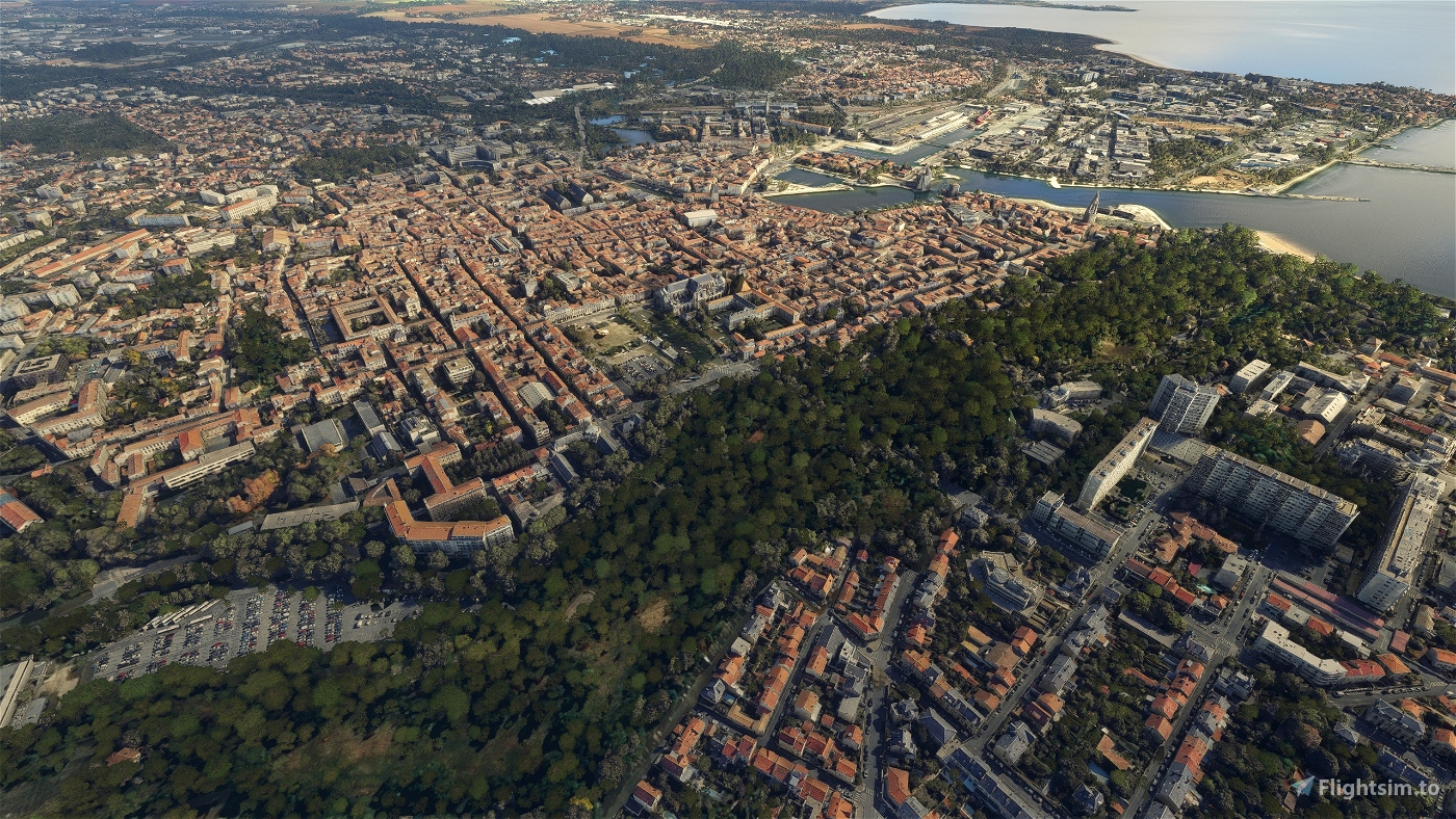
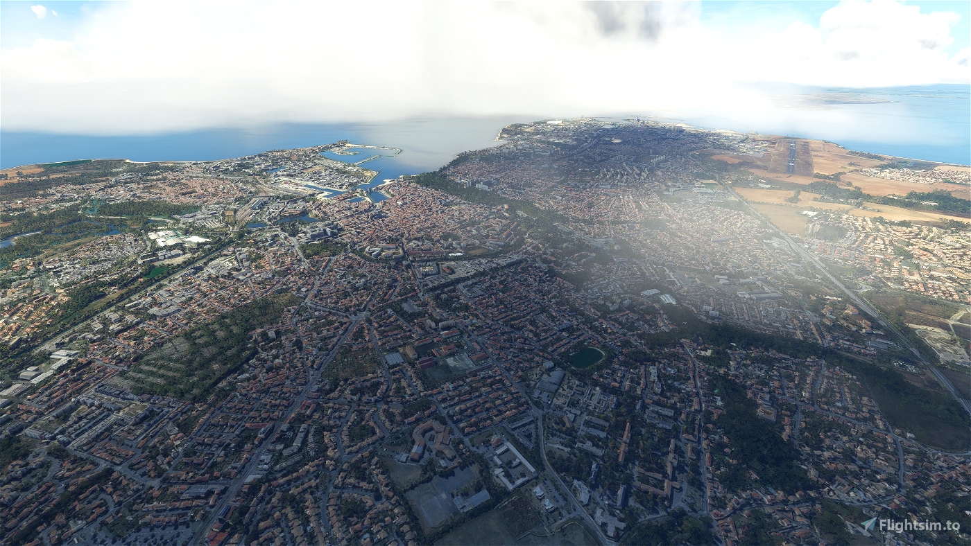
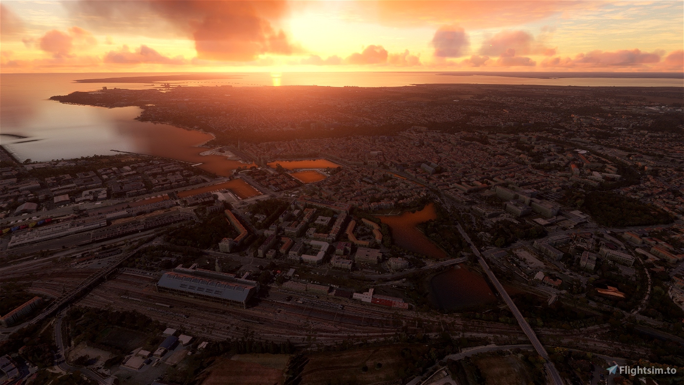
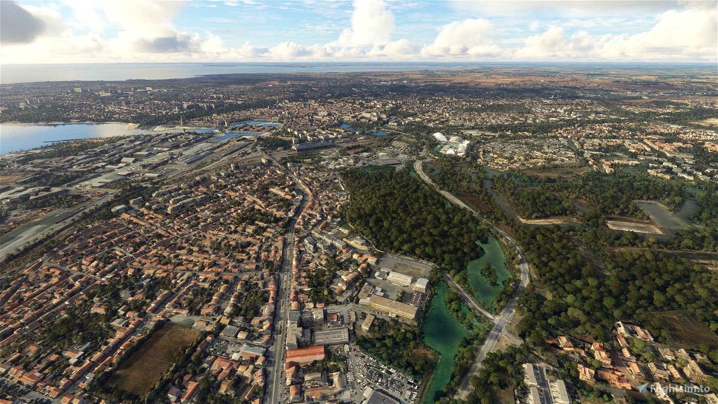
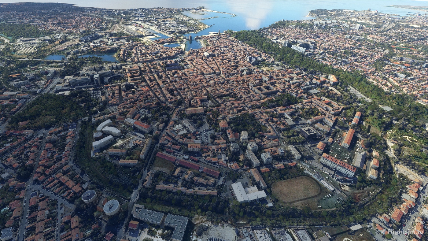
La Rochelle is a city in southwestern France and a seaport on the Bay of Biscay, a part of the Atlantic Ocean. It is the capital of the Charente-Maritime department.
The city is connected to the Île de Ré by a 2.9-kilometre (1.8-mile) bridge completed on 19 May 1988. Its harbour opens into a protected strait, the Pertuis d'Antioche.
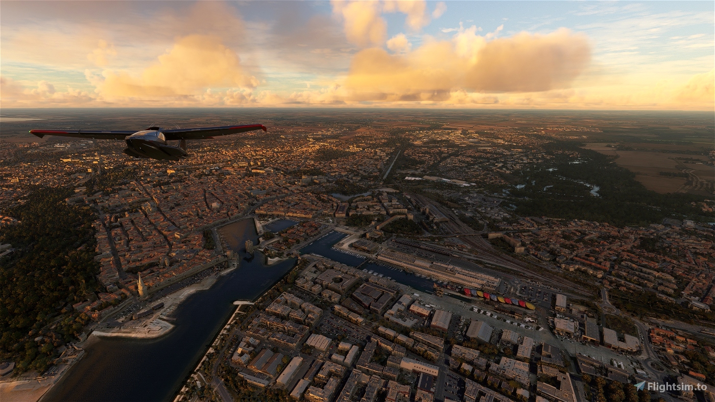
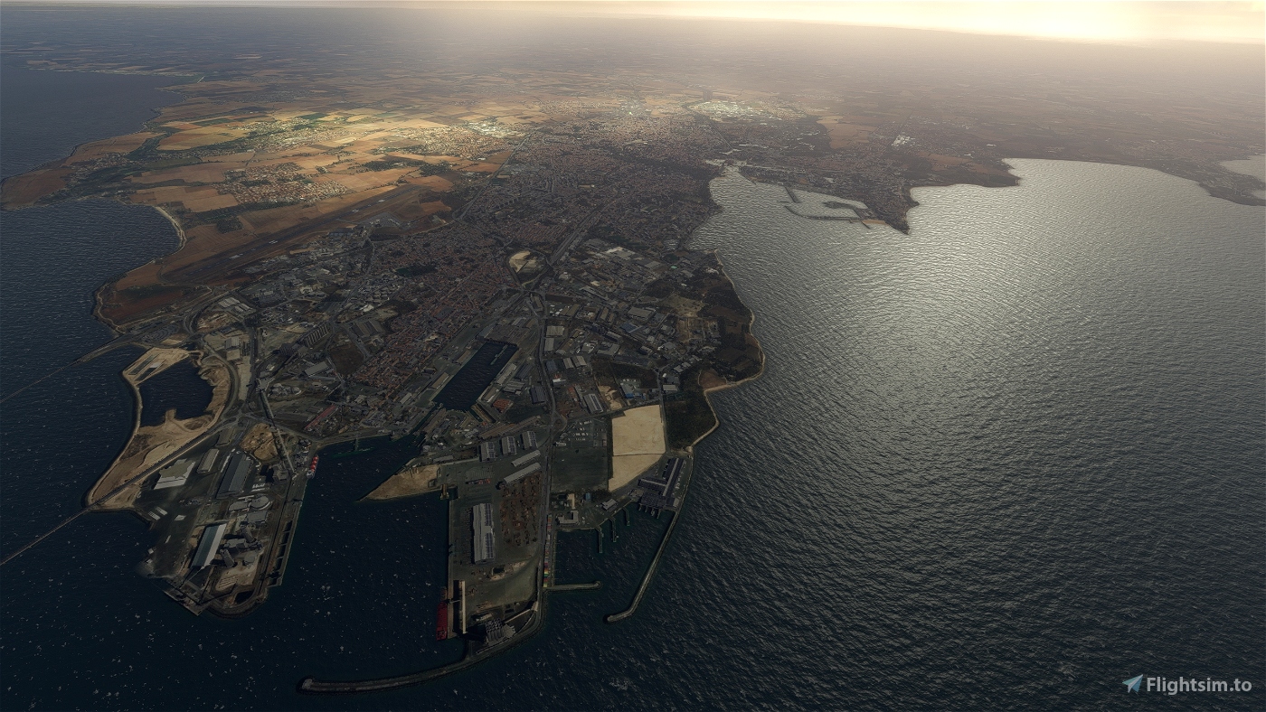
La Rochelle possesses a commercial deep water harbour, named La Pallice. The large submarine pens built during World War II still stand there, although they are not in use. La Pallice is equipped with oil unloading equipment, and mainly handles tropical wood. It is also the location of the fishing fleet, which was moved from the old harbour in the centre of the city during the 1980s.
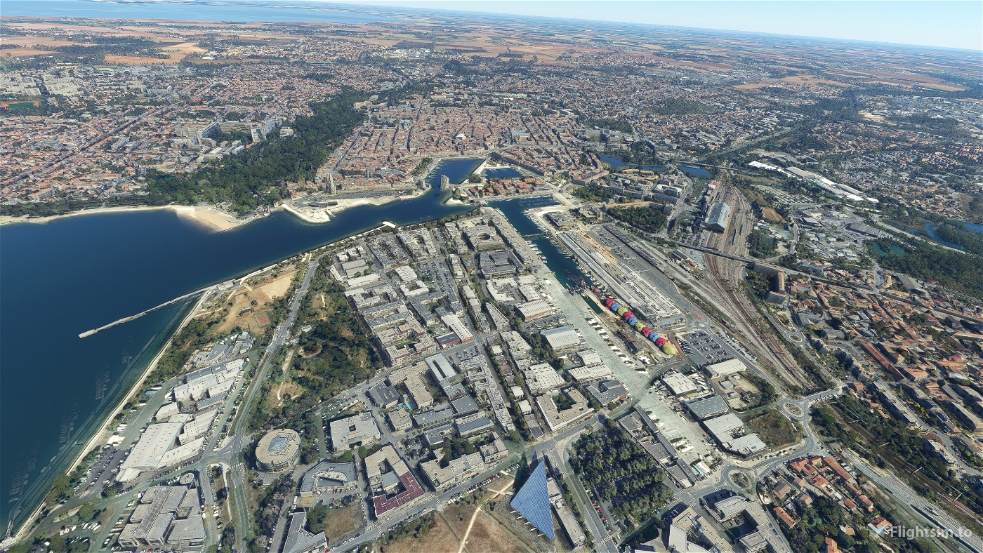
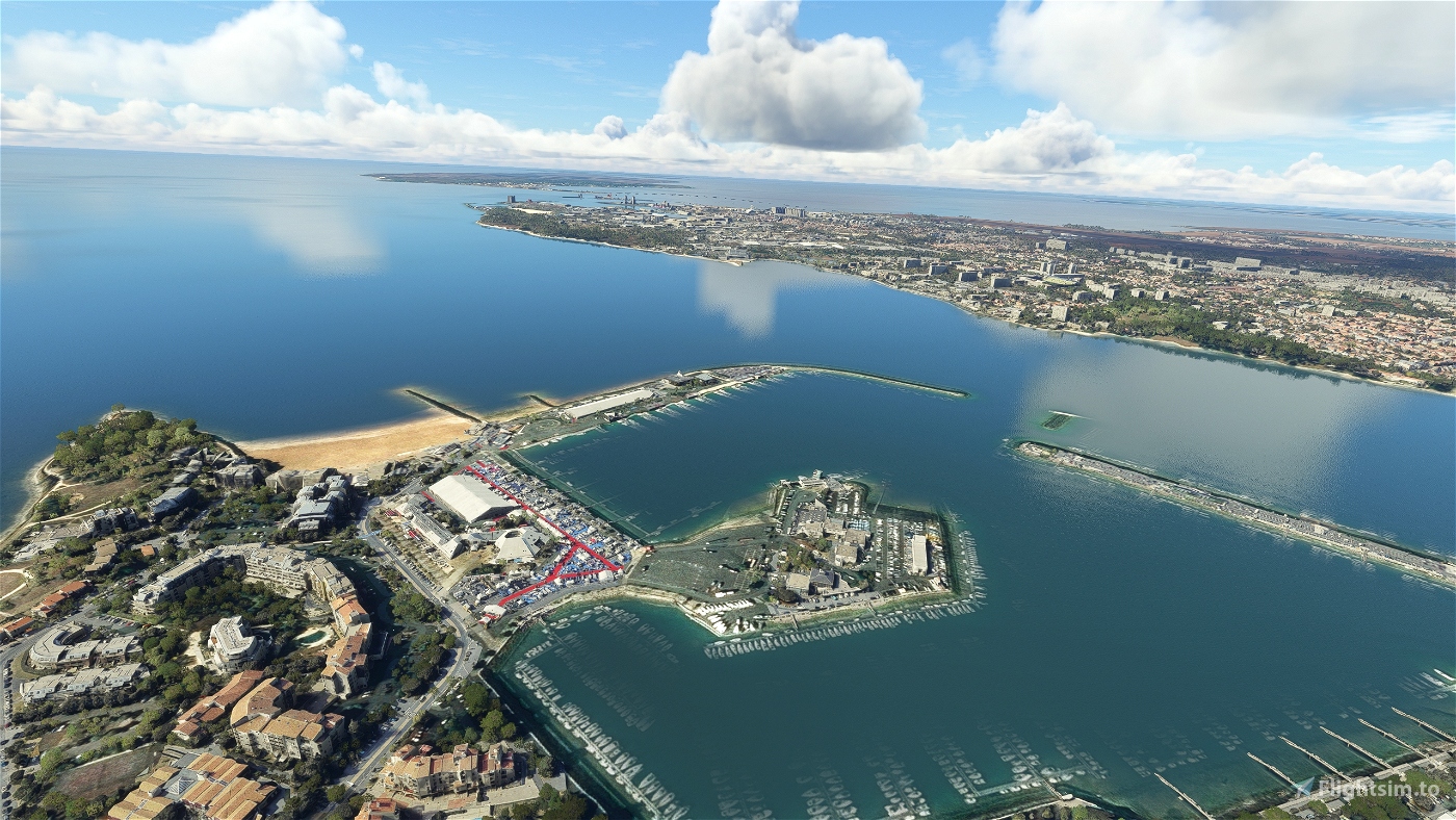
La Rochelle also maintains strong links with the sea by harbouring the largest marina for pleasure boats in Europe at Les Minimes, and a rather rich boat-building industry which includes Amel Yachts.
La Rochelle has a very big aquarium, and a small botanical garden (the Jardin des plantes de La Rochelle).
The Calypso, the ship used by Jacques-Yves Cousteau as a mobile laboratory for oceanography, and which was sunk after a collision in the port of Singapore (1996) is now on display (sadly rotting) at the Maritime Museum of La Rochelle.
One of the biggest music festivals in France, "FrancoFolies", takes place each summer in La Rochelle, where Francophone musicians come together for a week of concerts and celebration. 2004 marked the 20th anniversary of this event. The French Socialist Party has held its annual summer convention (Université d'été) in La Rochelle since 1983.
GPS: 46° 9′ 32.76″ N, 1° 9′ 6.12″ W
Credits:
This scenery has been extracted from Google Maps, hence all 3D credits goes to Google.
This scenery has been generated with the Google Earth Decoder tool (credits to /u/Jonahex111):
https://www.reddit.com/r/FS2020Creation/comments/j3faaj/google_earth_decoder_now_userfriendly/
OjO for the colorimetry
Addon history:
v1.0: initial release
What is the difference with the previous version ?
- better scenery blending with the MS/Asobo landscapes
- more autogen trees in the scenery, by using specific and accurate height maps (with a 5m precision)
- "laser-cut" tiles to keep only buildings and roads
If you want to donate, you will always be welcome to help me continue with more projects and update the existing ones https://paypal.me/Thalixte.

 Thalixte


kapazunder33
S_Granger
Très bon travail mais hélas, comme avec la scène précédente (celle de 1,12Go) des problèmes de couleur chez moi: les bâtiments apparaissent grisâtre (ils sont bien plus blanc dans la réalité) et surtout des artefacts au port des minimes (des routes apparaissent en rouge ).
Pierrafeu
Thalixte author
10 months ago
Yofriends
Superbe travail ! Merci beaucoup 😊
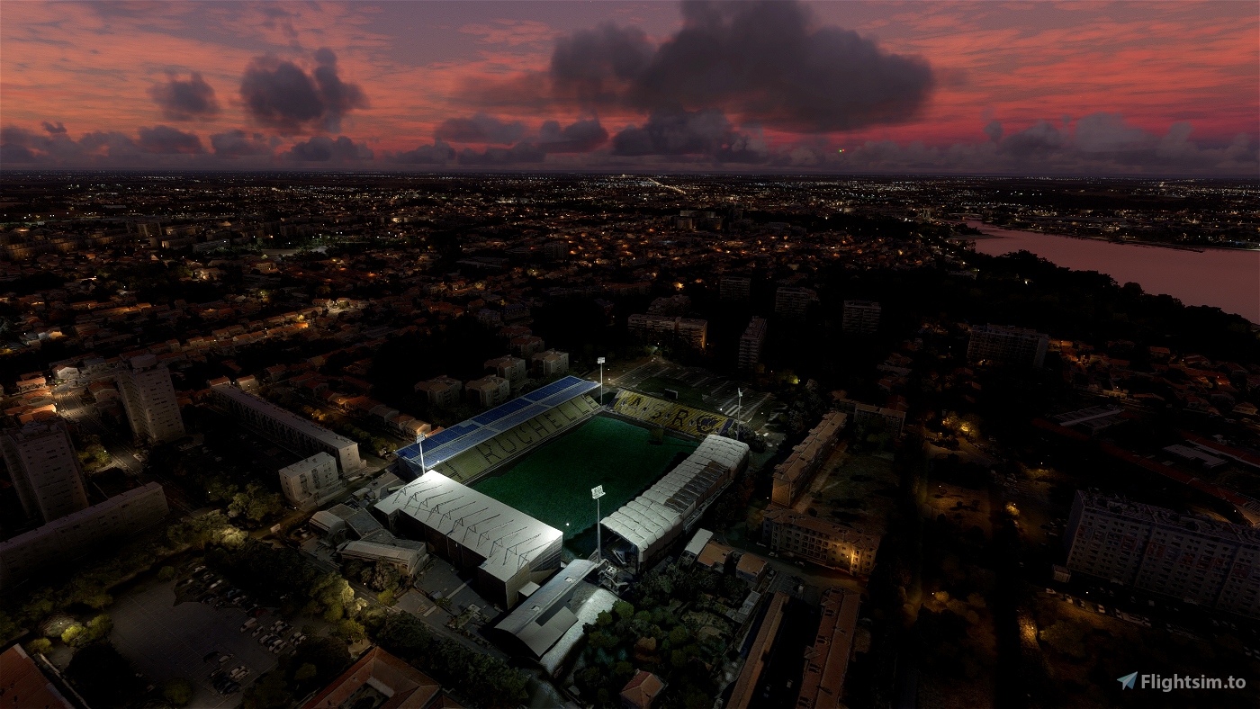
Cependant, j'ai noté un soulèvement du terrain/océan en forme de pyramide juste devant les deux tours du port. Est-ce un bug de mon simulateur ou cela vient-il du fichier ?
zetar
ah ? une future 1.2 ?????
2 years ago
Arkhor
Bonsoir Thalixte
Merci pour votre superbe travail. Je vole depuis Fontenay et j'apprécie de voir La rochelle bien détaillée. Par contre quelle version choisir entre la 4.1 et la 2.0 ? Merci de votre retour Bonne soirée Benoit_MCR
Thalixte author
Bonsoir. Comme indiqué dans la description, la V2.0 est mieux réalisée, car elle supprime quasiment tous les arbres de Google Earth pour les remplacer par des arbres autogénérés (c'est pourquoi je l'ai nommé V2.0)
2 years ago
Berdeso
Sans votre travail, MSFS ne serait pas le même pour moi, ancien VFR qui passe son temps, aujourd'hui, à arpenter la France virtuellement 😊, alors merci beaucoup !
Thalixte author
Merci bcp pour votre soutien
2 years ago
Vizipok
Thank you!
zetar
Rochelle v2 and file v1 ??????????????????
2 years ago
Bensonbdx
With the removal of autogen trees, you'll be on duty to redo all your scenes, you have to think about getting some sleep anyway lol. Thank you again for this titanic quality work.
Thalixte author
Thks a lot for your support
2 years ago