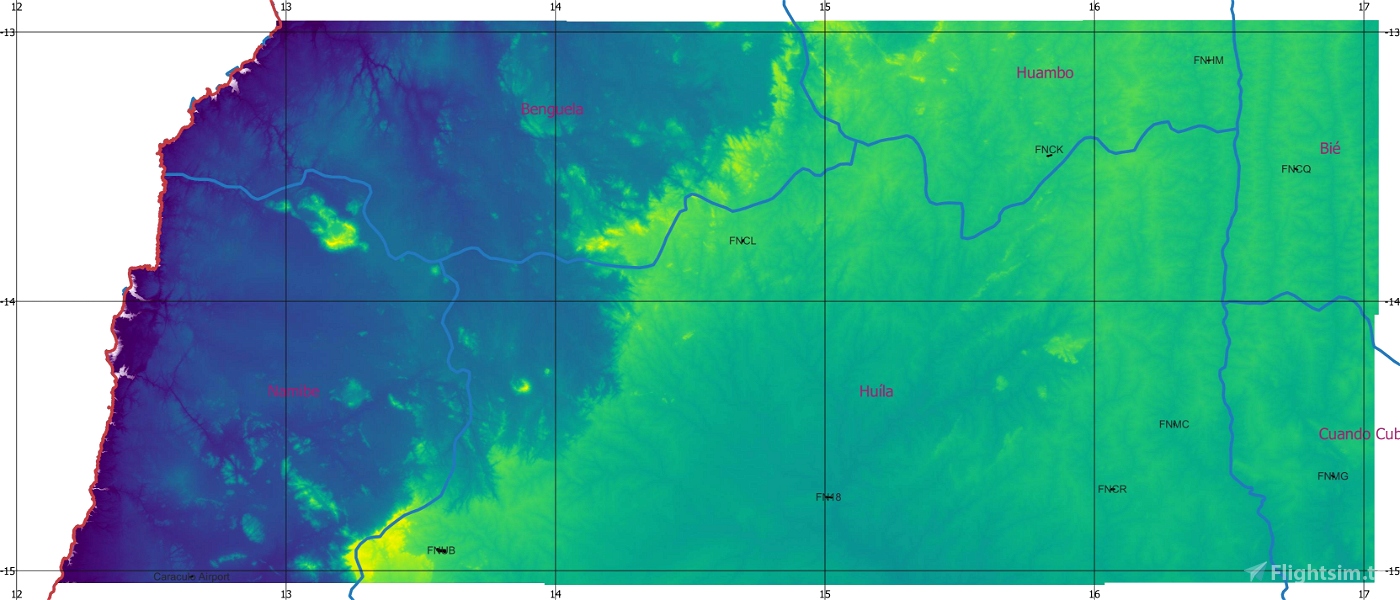
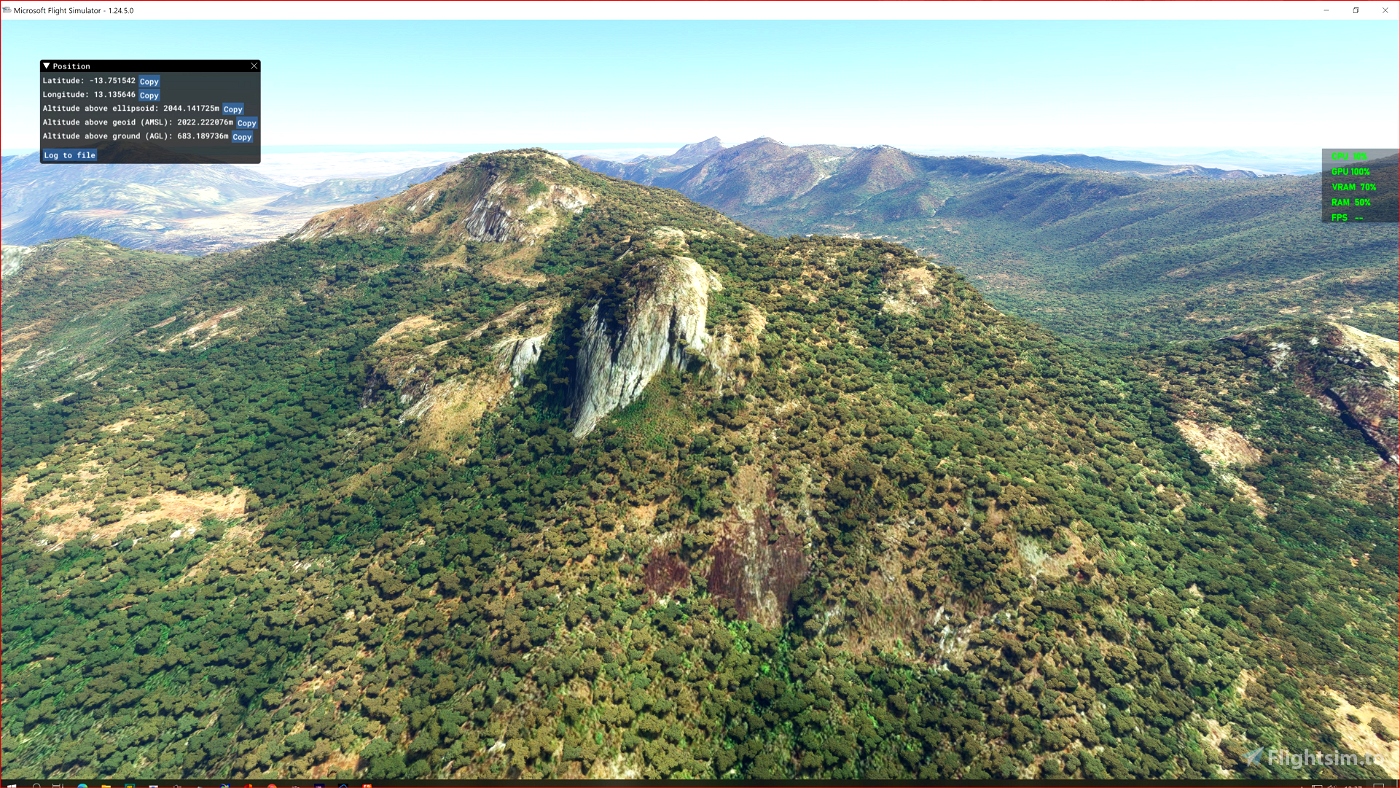
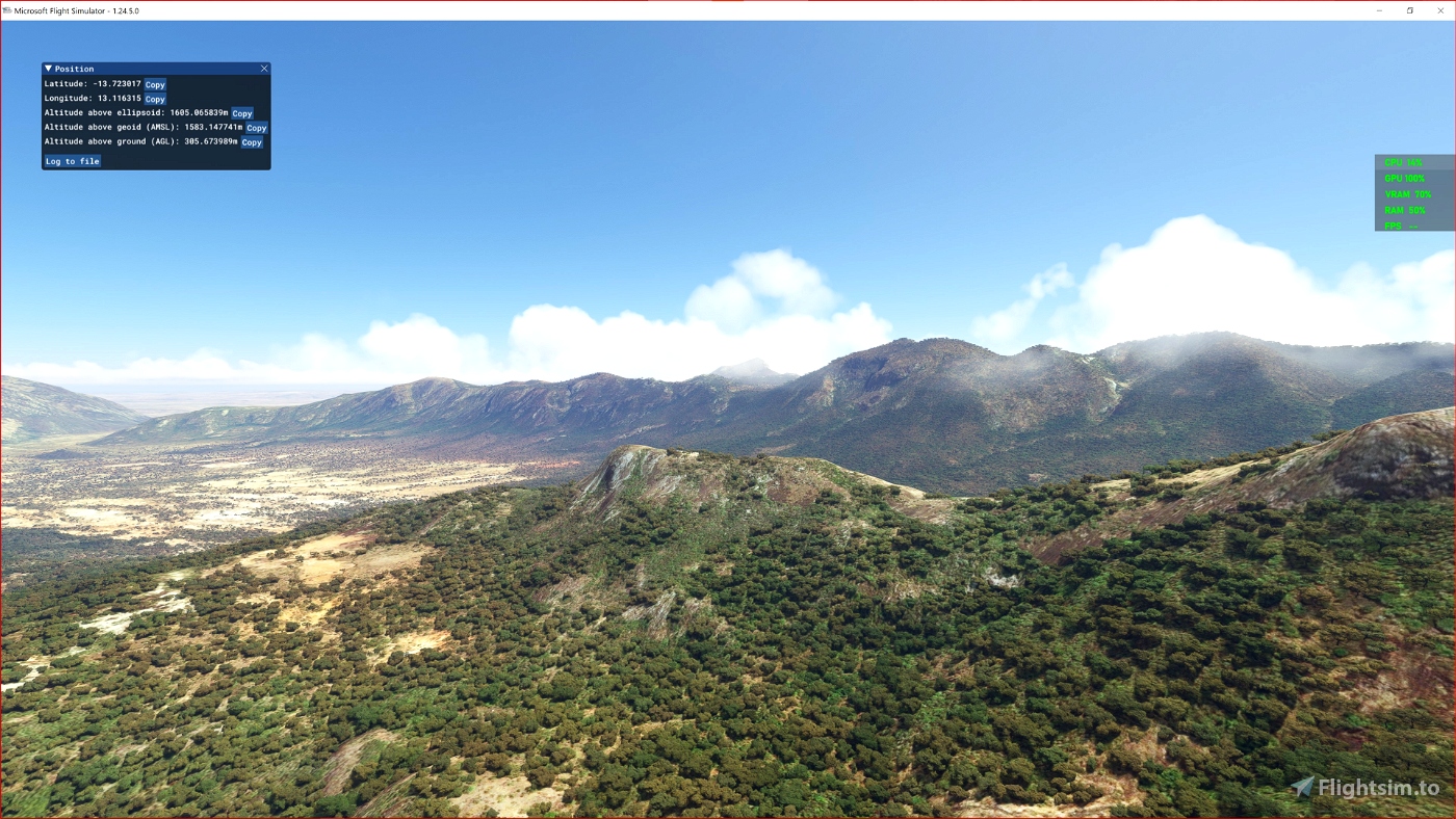
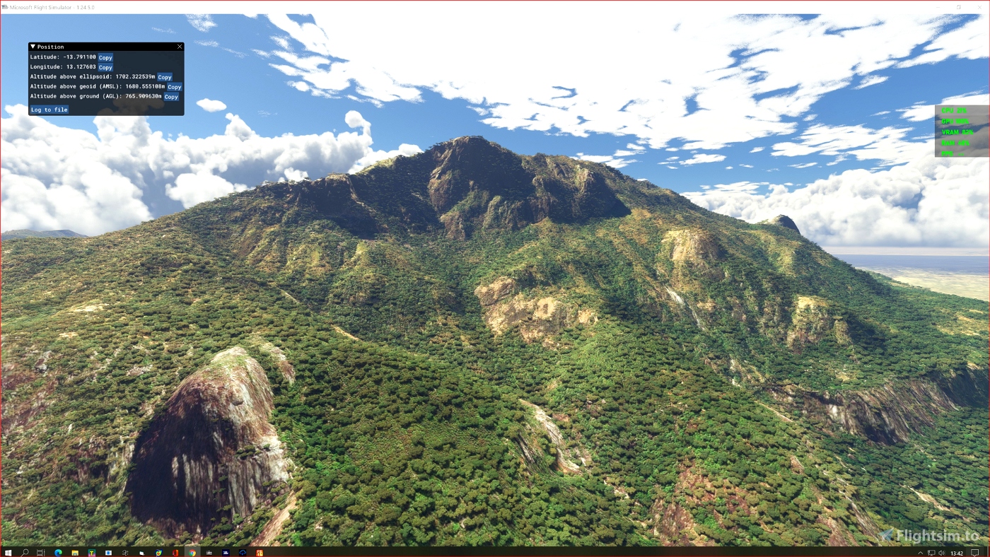
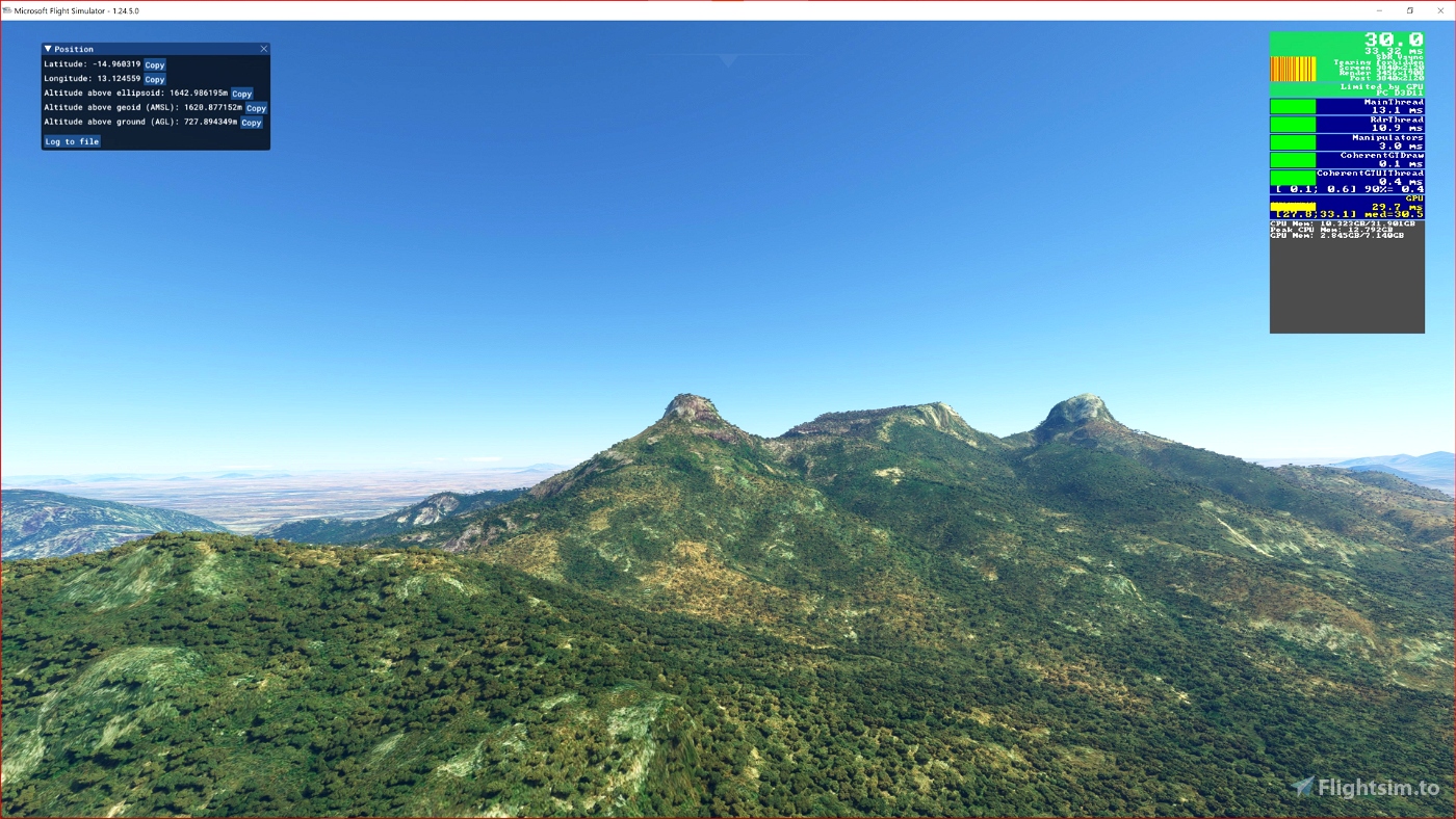
ASF ETM12m Angola - Enhanced Terrain Mesh 12m for Angola vol. 08 – Benguela Namibe Huìla - version 1.00
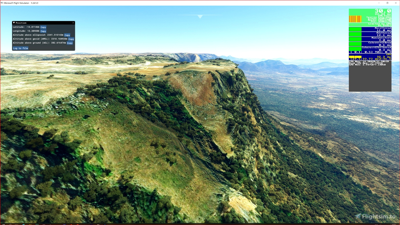
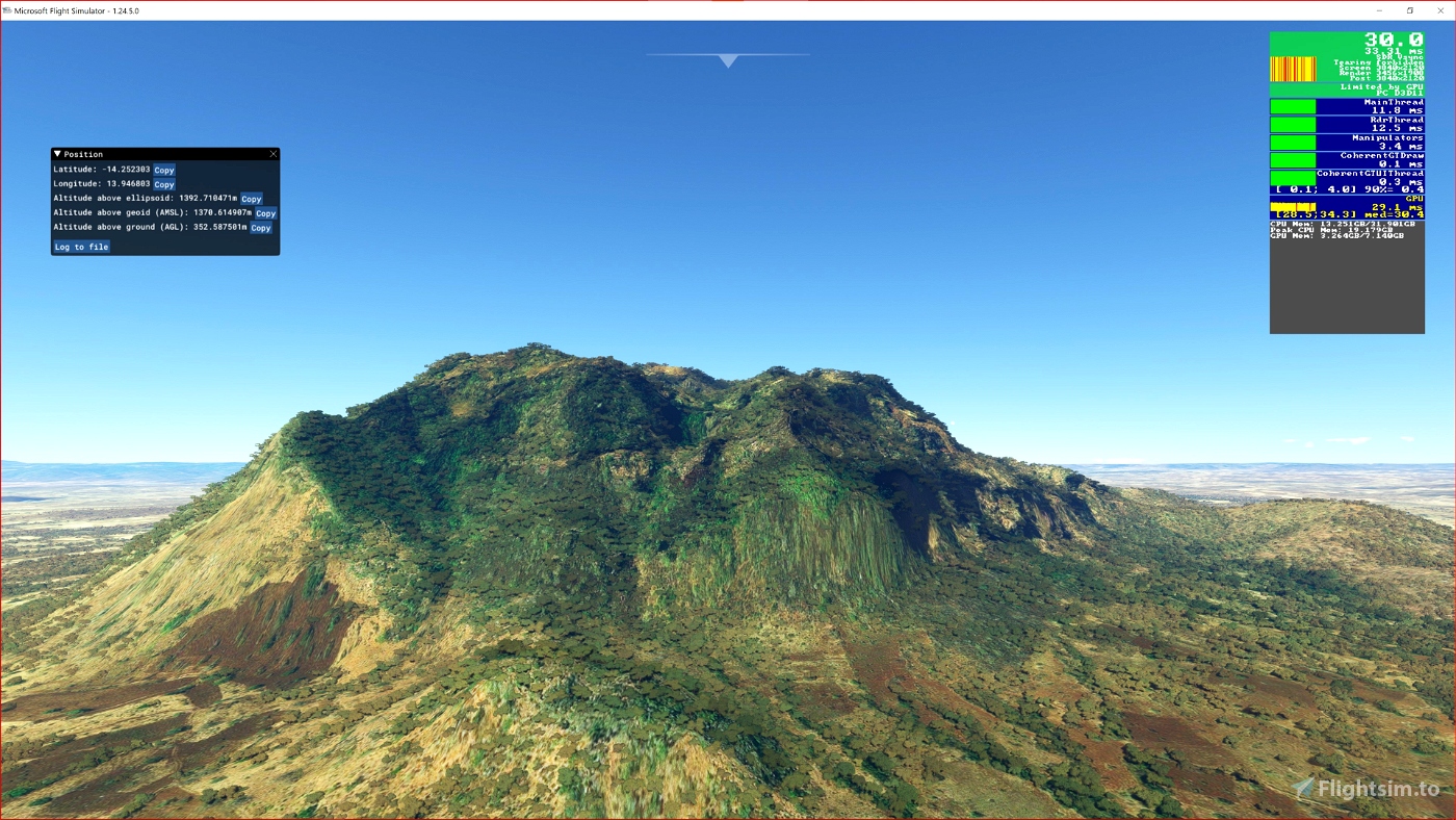
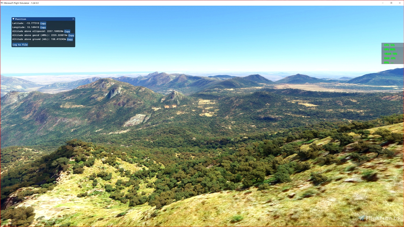
This is an Enhanced Terrain Mesh ALOS PALSAR RTC 0,41 arc sec (12,50 meters). Mainly the area covered by this terrain mesh is related to the region of ... see coverage map.
This project is part of a larger work. Install everything in a single folder \ italiancharterteam-ao-etm-08.
There are some recommended files for this add-on. See here "Dependencies"
Angola North, Part Three by Frontech and Angola West by Frontech ; a bush trip.
Affected Sceneries
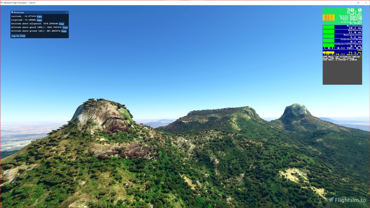
Any large Payware and Freeware Airport I could think of, has been excluded from the mesh. So hopefully the glitches will be minimal. The coastline should be completely redesigned .... it could be the subject of a separate project.
Please report any bugs with sceneries or airports and I will see what I can do!
ACKNOWLEDGEMENT
Alaska Satellite Facility
Dataset ALOS PALSAR_Global Radar Imagery (2006-2011) Radiometric Terrain Corrected (RTC) DEM 12.5mt
Created using MSFS Toolkit by Nool Aerosystems (MSFS Toolkit)
Thank you both and for anyone reading this: Please go ahead and support them!
Enjoy your VFR flights above the Angola!
Ivao Angola and Aeroplano Virtual - The African Flyer
On Discord: Gjanosh61#9850
ItalianCharter Team

 Gjanosh61


What a nice surprise to see this type of files for Angola. Thank you so much.
11 months ago
TheAfricanFlyer
What a joy to fly over Angola! This is landscape we very rarely get to see so clearly. I have to subtract half a star because of the very occasional stutter, but otherwise this is stunning work.
2 years ago
Angola has breathtaking panoramic views. Unfortunately SU9 has introduced the problem of stuttering ... however with a good balance of the performance of your system it is possible to reduce a lot ... on my behalf I have found a satisfactory compromise.
https://forums.flightsimulator.com/t/drastic-drop-in-performance-with-enhanced-terrain-mesh-etm-in-su9/515928/3
2 years ago
Gjanosh61
marangog