IMPORTANT! This scenery is compatible with the WU4 update, but you need to download the France/Benelux MS/Asobo handcrafted objects first.
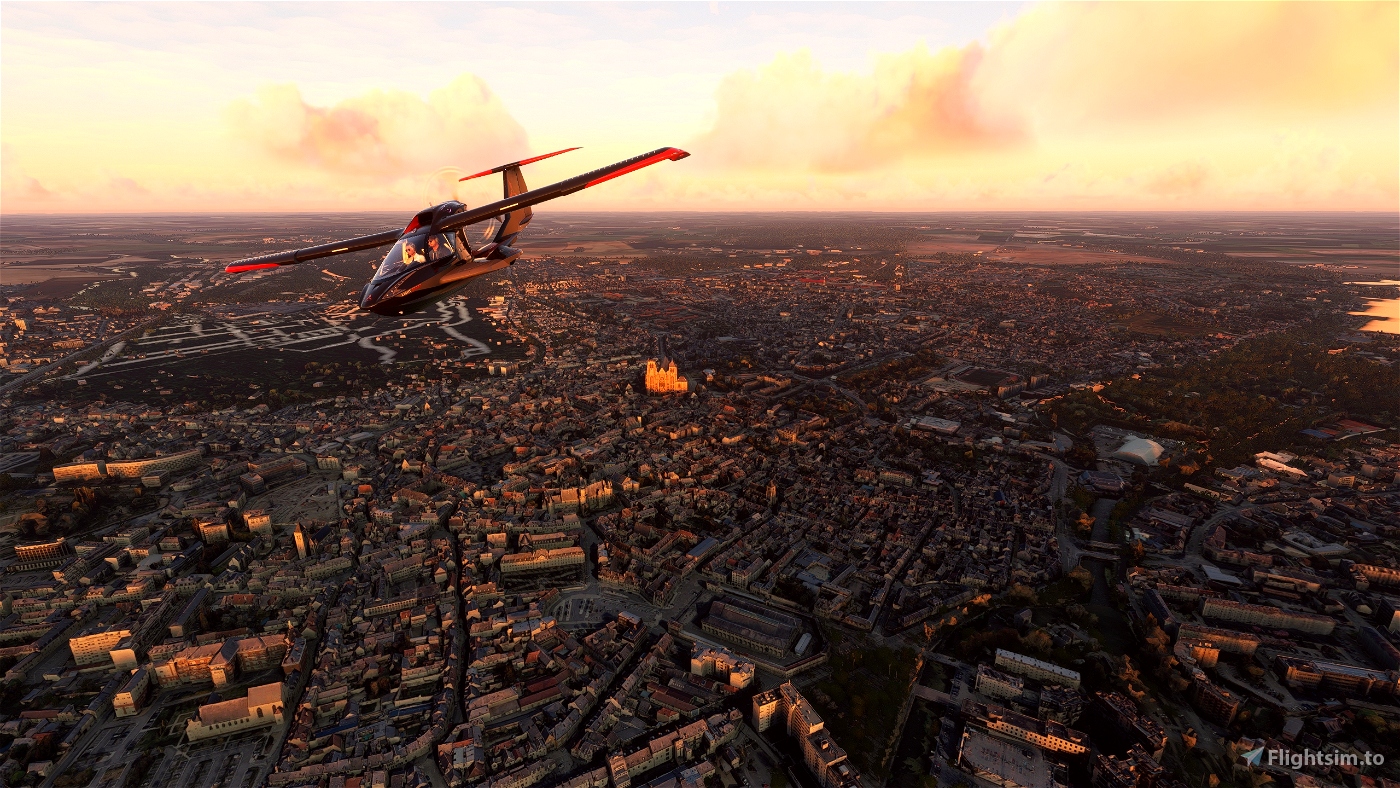
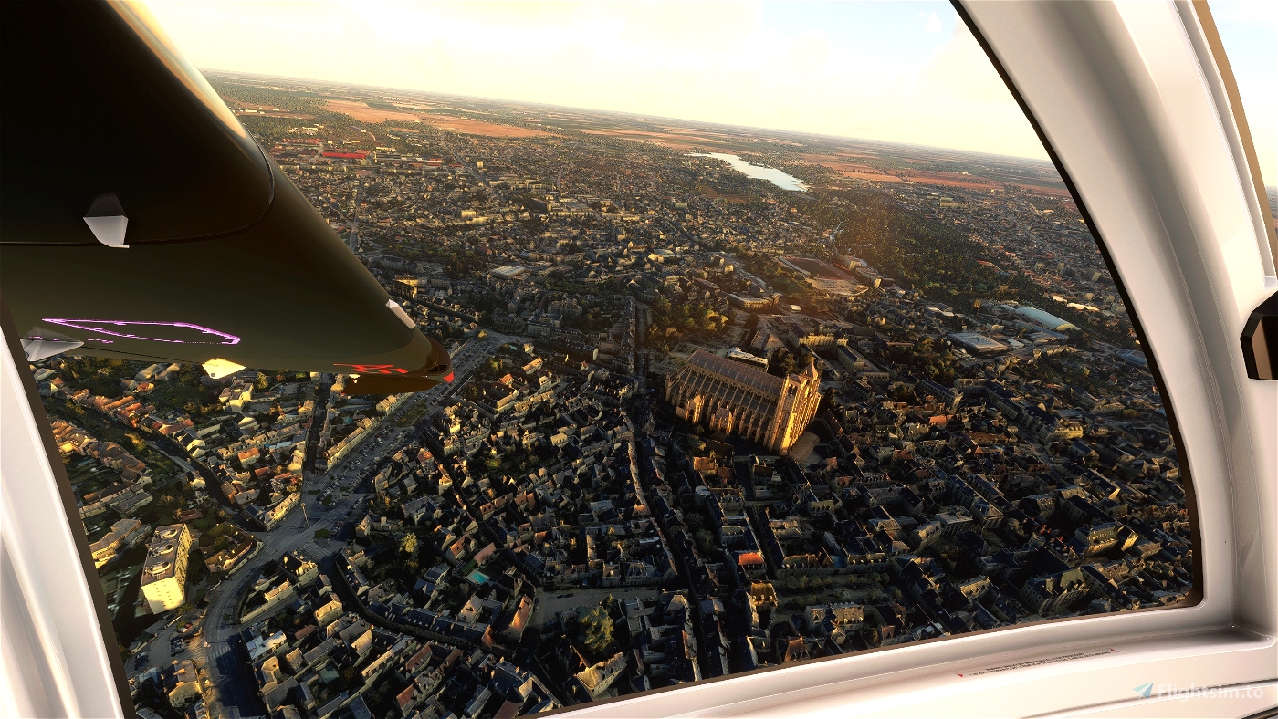
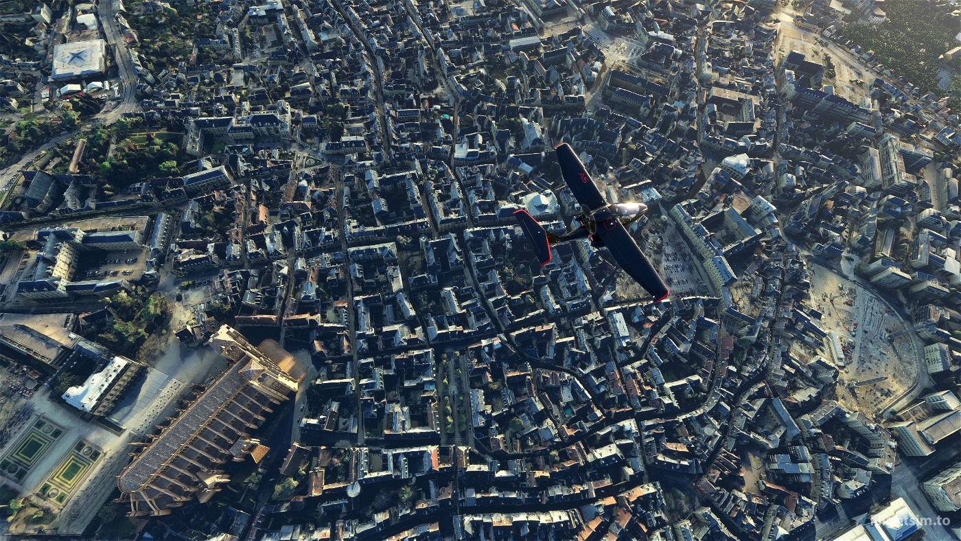
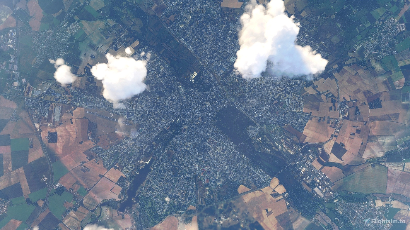
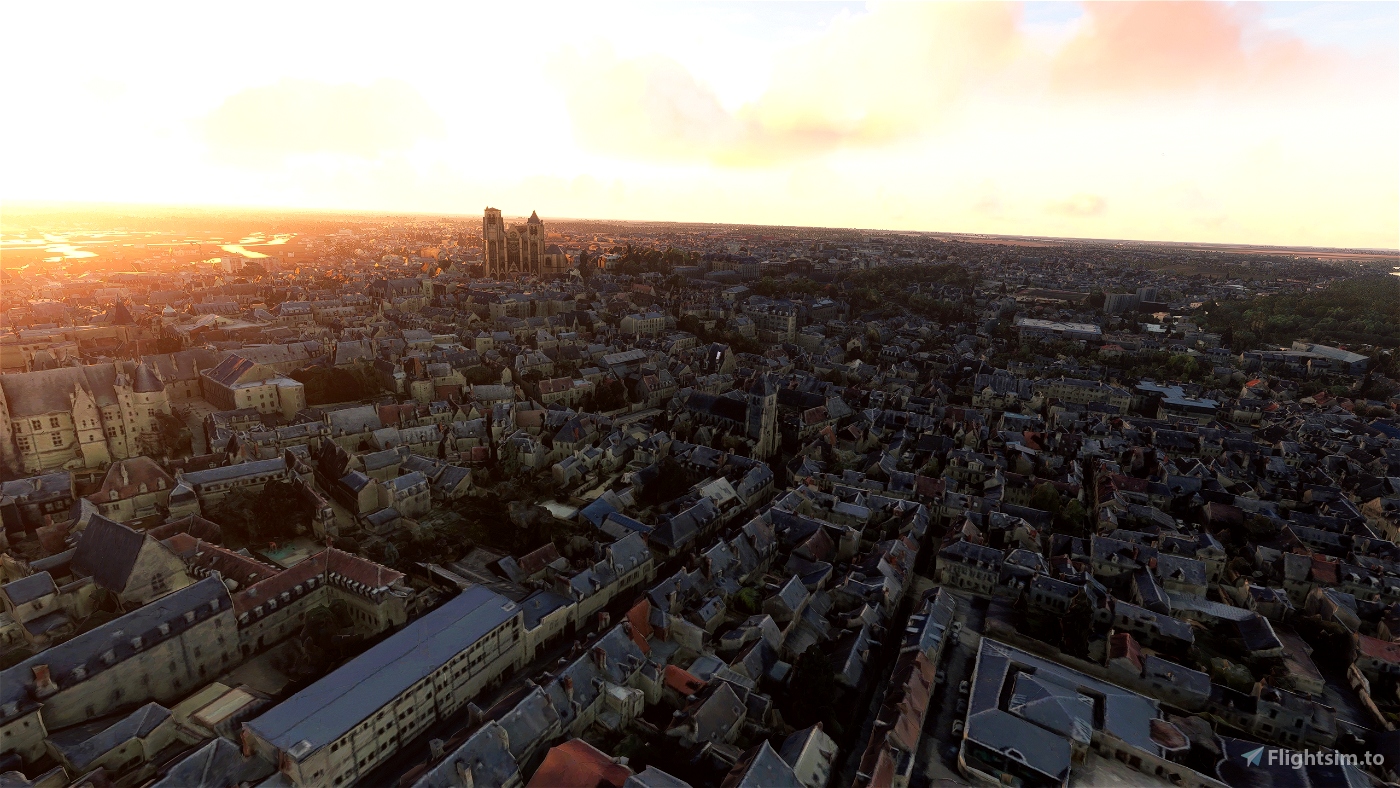
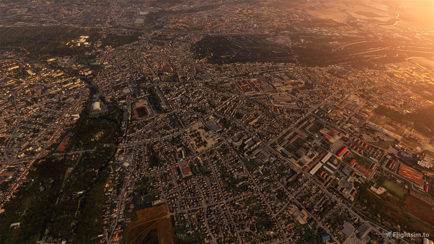
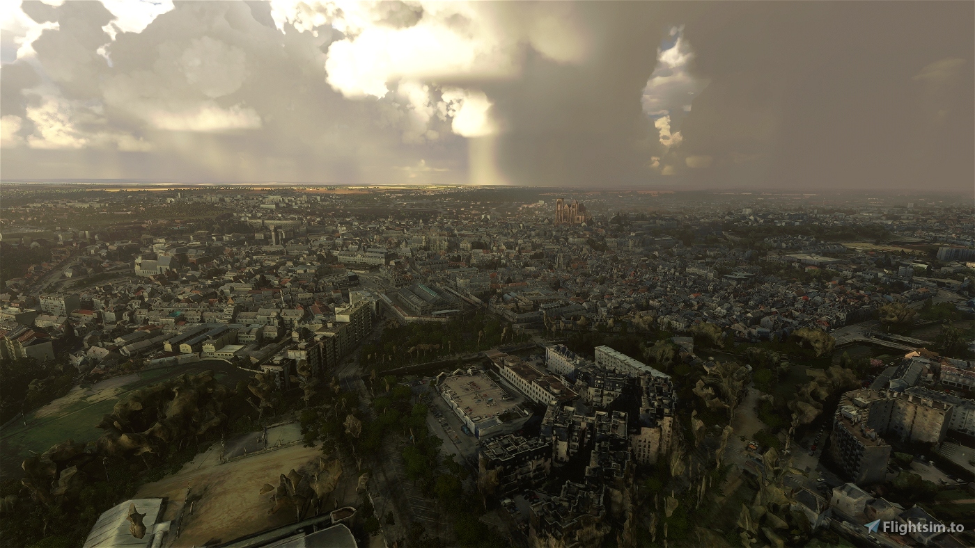
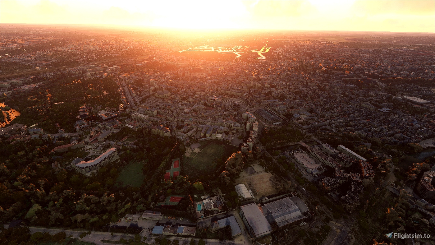
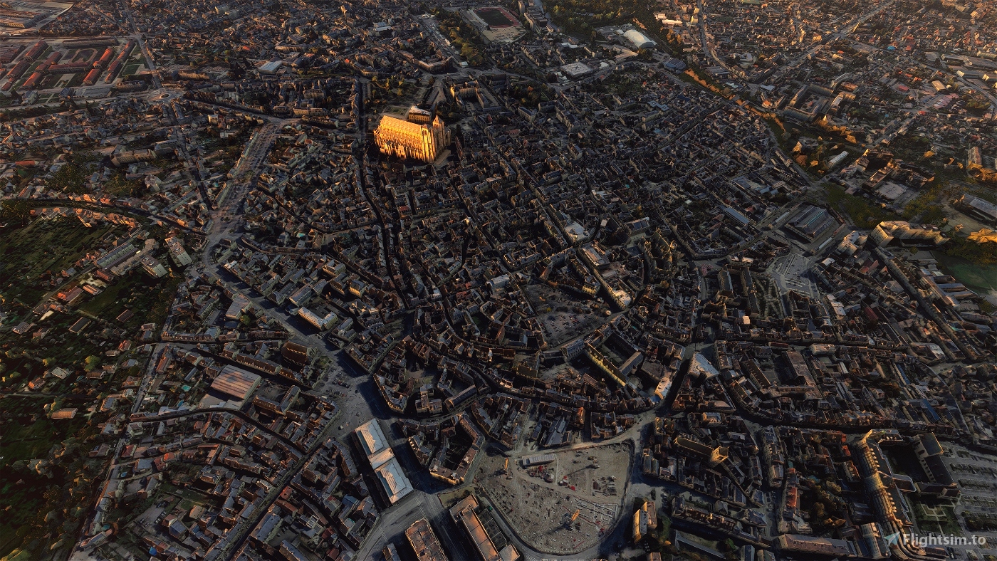
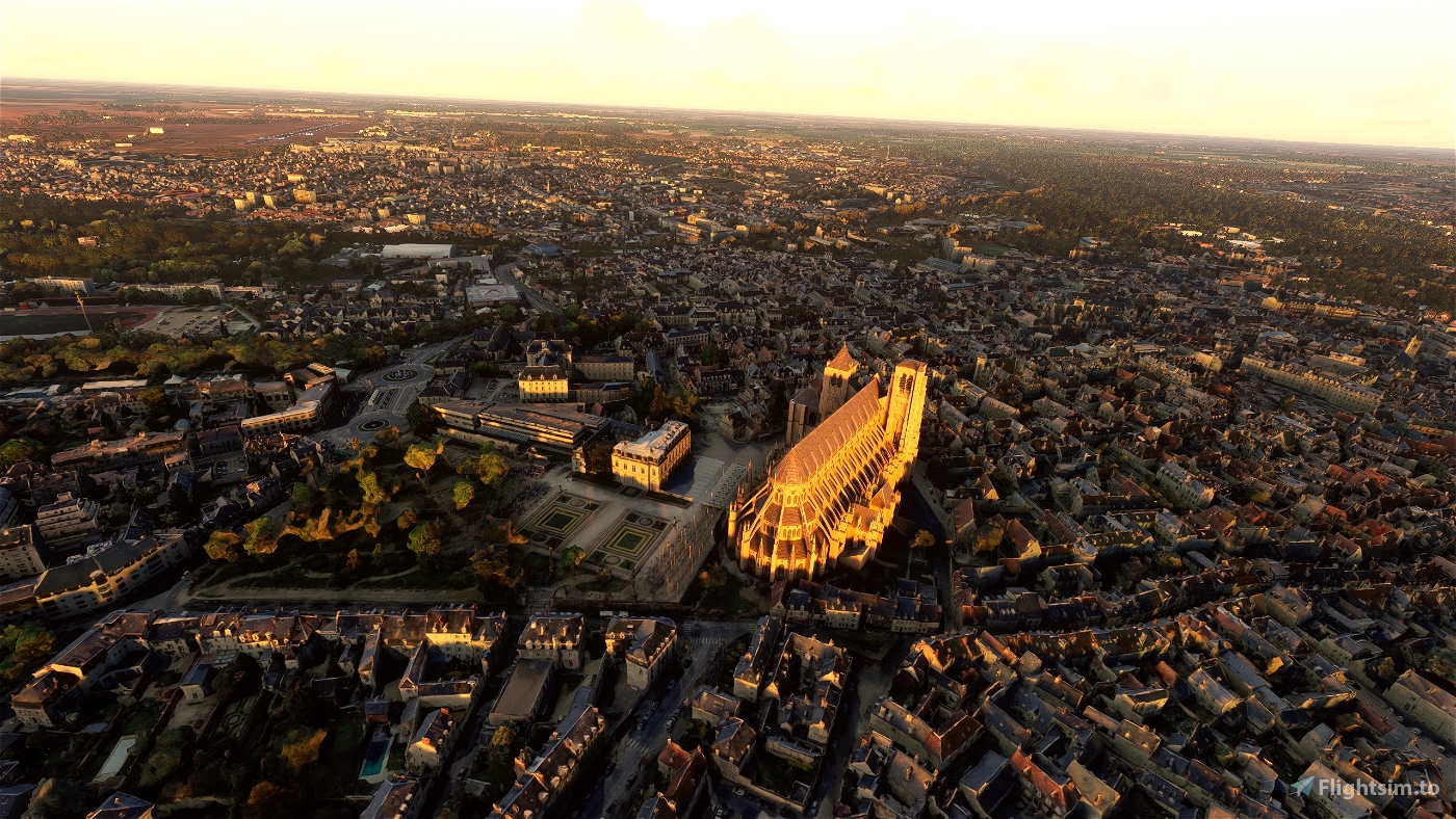
Bourges is a commune in central France on the river Yèvre. It is the capital of the department of Cher, and also was the capital city of the former province of Berry.
The name of the commune derives either from the Bituriges, the name of the original inhabitants, or from the Germanic word Burg (French: bourg. Spanish: burgo. English, others: burgh, berg, or borough), for "hill" or "village". The Celts called it Avaricon; Latin-speakers: Avaricum. In the fourth century BC, as in the time of Caesar, the area around it was the center of a Gallic (Celtic) confederacy.
In 52 BC, the sixth year of the Gallic Wars, while the Gauls implemented a scorched-earth policy to try to deny Caesar's forces supplies, the inhabitants of Avaricum begged not to have their town burned. It was temporarily spared due to its good defences provided by the surrounding marshes, by a river that nearly encircled it, and by a strong southern wall. Julius Caesar's forces, nevertheless, captured and destroyed the town, killing all but 800 of its inhabitants.
Rome reconstructed Avaricum as a Roman town, with a monumental gate, aqueducts, thermae and an amphitheatre; it reached a greater size than it would attain during the Middle Ages. The massive walls surrounding the late-Roman town, enclosing 40 hectares, were built in part with stone re-used from earlier public buildings.
The third-century AD Saint Ursinus, also known as Saint Ursin, is considered[by whom?] the first bishop of the town. Bourges functions as the seat of an archbishopric. During the 8th century Bourges lay on the northern fringes of the Duchy of Aquitaine and was therefore the first town to come under Frankish attacks when the Franks crossed the Loire. The Frankish Charles Martel captured the town in 731, but Duke Odo the Great of Aquitaine immediately re-took it. It remained under the rule of counts who pledged allegiance to the Aquitanian dukes up to the destructive siege by the Frankish King Pepin the Short in 762, when Basque troops are found defending the town along with its count.
GPS: 47° 5′ 3.84″ N, 2° 23′ 47.04″ E
Credits:
This scenery has been extracted from Google Maps, hence all 3D credits goes to Google.
This scenery has been generated with the Google Earth Decoder tool (credits to /u/Jonahex111):
https://www.reddit.com/r/FS2020Creation/comments/j3faaj/google_earth_decoder_now_userfriendly/
Addon history:
v1.0: initial release
Installation:
Download thalixte-bourges.7z. Extract thalixte-bourges folder into the Community folder.
If you want to donate, you will always be welcome to help me continue with more projects and update the existing ones https://paypal.me/Thalixte.

 Thalixte


Another beautiful city, thank you.
I see the cathedral is hovering in the air and maybe it's because of SU5 ... and after flying a few minutes over the city I was rewarded by the infamous MSFS CTD.
3 years ago
No problem for me, even After SU5 update. Make sure you downloaded all the updates in the content manager. Delete the rolling cache file, as well as the Content.xml file.
3 years ago
Thalixte
Terblanche
Merci Thalixte pour ton formidable W. As-tu remarqué depuis cette MAJ il n'y a plus de neige qui recouvre la photogrammétrie? Comme au tout début du lancement de MSFS. Mis à part les performances, cette MAJ est une régression. Au plaisir de découvrir ta prochaine scène!!
3 years ago
Ah, non, je n'ai pas essayé pour la neige. Sinon, merci ;-)
3 years ago
Thalixte
pilote1