Recommended add-ons:
Bushtalk Radio world landmarks - for relevant POIs en route
We Love VFR region 2 - the smoking chimneys on the downtown Boston skyline coming down through Belmont is a great sight
For the downtown Boston portion, you’ll want photogrammetry turned on.
*
To load the route, click "load/save" at the bottom of the World Map and navigate to the relevant folder. Note that the spawn location is set to the runway by default, so select your gate in the dropdown menu if you're looking to start cold and dark.
*
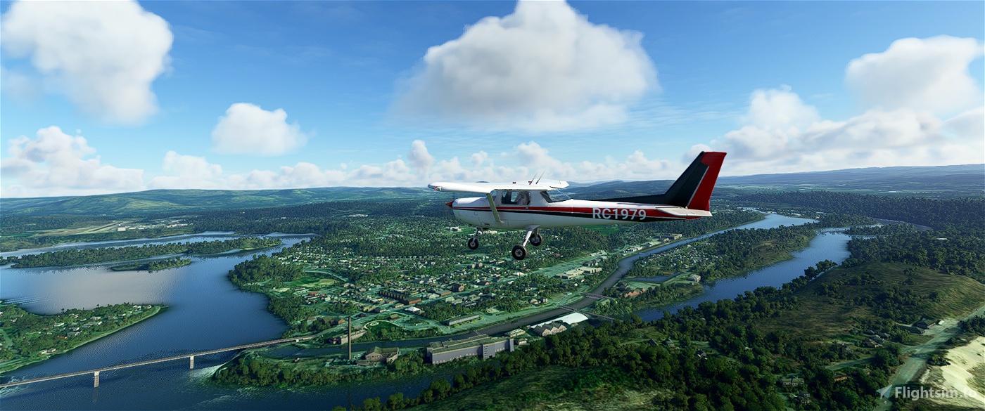
This route begins at the Massachusetts/New York state line and ends at Boston’s Logan International. By road, Massachusetts State Route 2 is 142 miles long. This route is just one mile shorter if you follow it exactly, but I’m hoping you’ll veer off here and there to check out some sights.
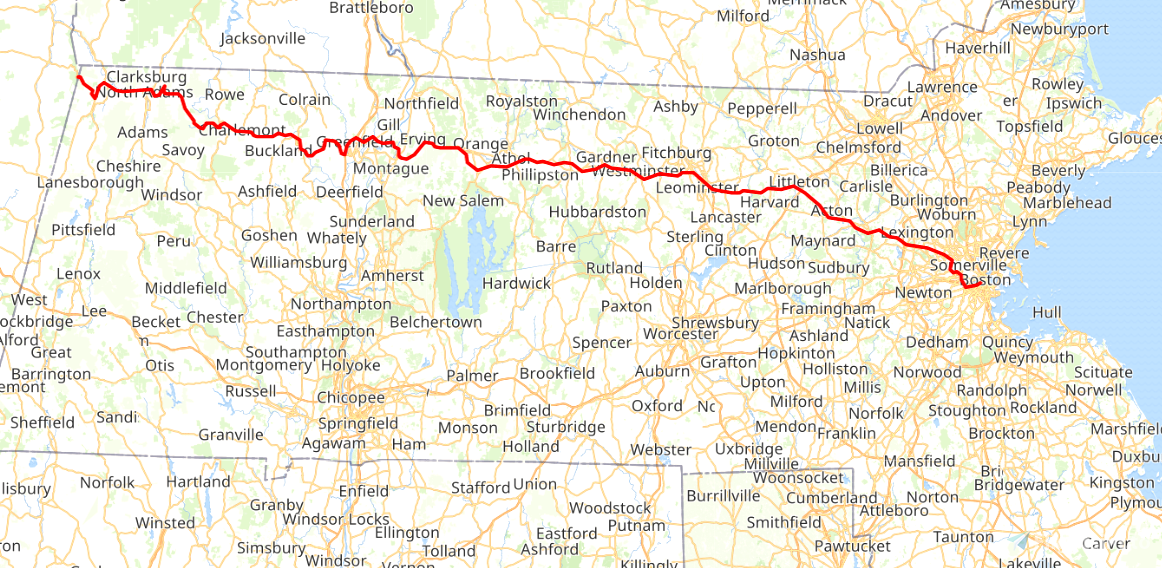
We depart from runway 29 at Harriman and West airstrip (KAOW) in North Adams, Massachusetts, and fly five nautical miles to the New York state line, before doubling back to pick up the start of the highway here in Berkshire County.
East of North Adams, the highway ascends via a hairpin turn into the Hoosac Range along the Mohawk Trail.
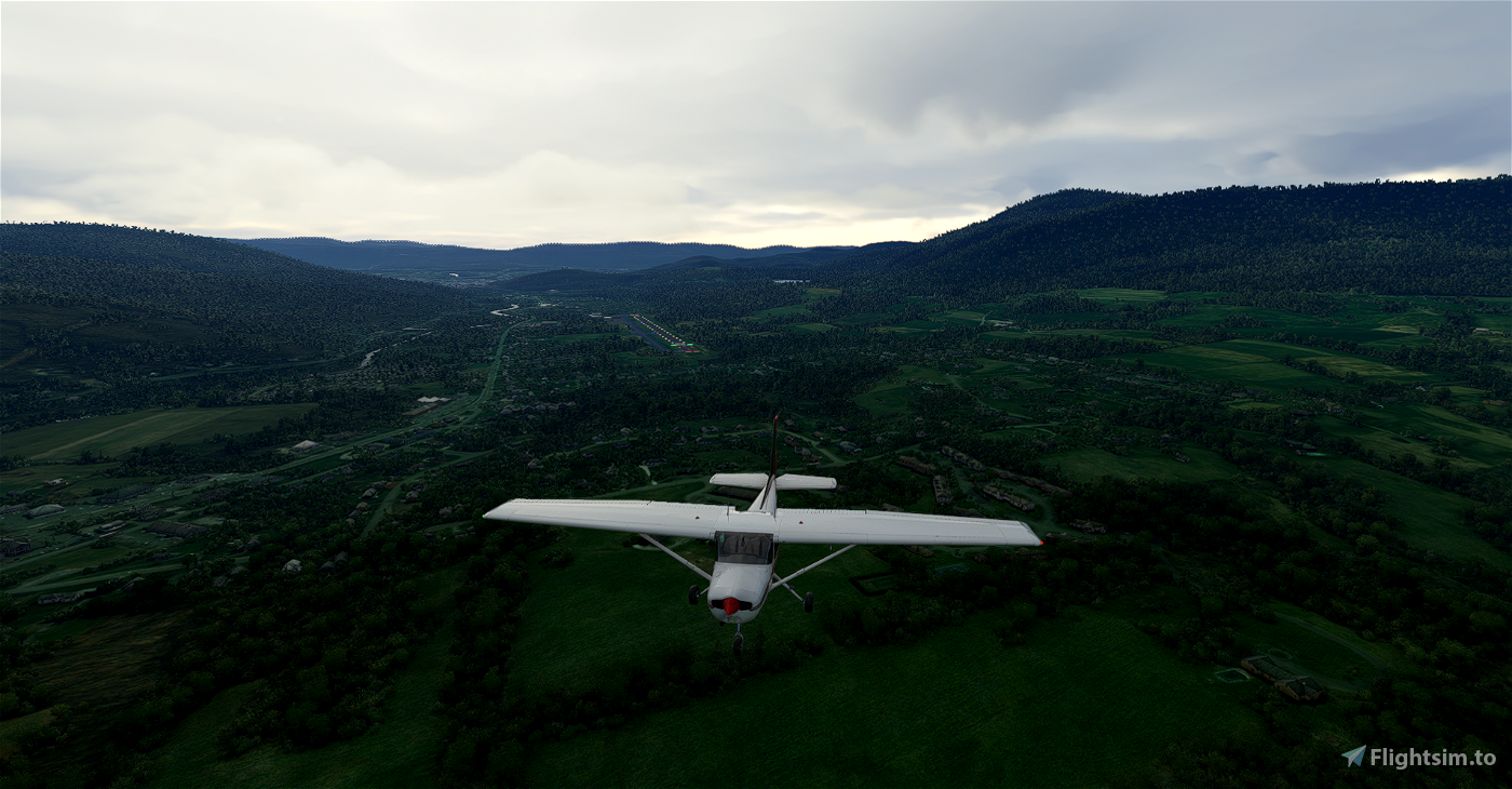
We then enter Franklin County, where we meet (and briefly join) Interstate 91 in Greenfield. A former section of Route 2 splits off to become Route 2A around Orange.
Continuing through Millers Falls, we pass over Route 2’s intersection with Route 63, all the while following Millers River. The highway runs concurrently with U.S. Route 202 here.
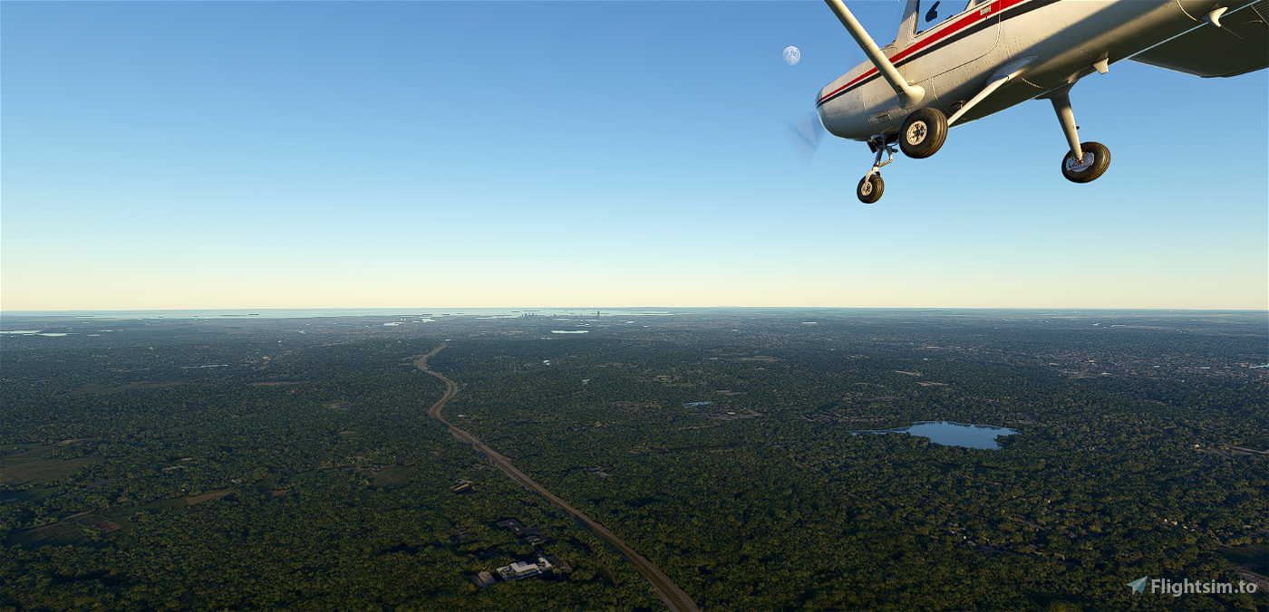
Carrying on through Gardner into Fitchburg we reach Leominster, where I-190 splits off south into Worcester.
Into Middlesex County, we enter Boston’s outer loop at the I-495 interchange in Littleton, where we start to wind our way southeast.
In Concord, we fly right beside Walden Pond, for the Thoreau lovers out there.
Just short of Minute Man National Park, we turn to begin our climb over the hill separating Lincoln and Lexington. It won’t be long until the Boston skyline appears on the horizon as we descend through Belmont and North Cambridge.
At Alewife, we turn south to follow Fresh Pond Parkway onto Memorial Drive, skirting Harvard University and following the Charles River.
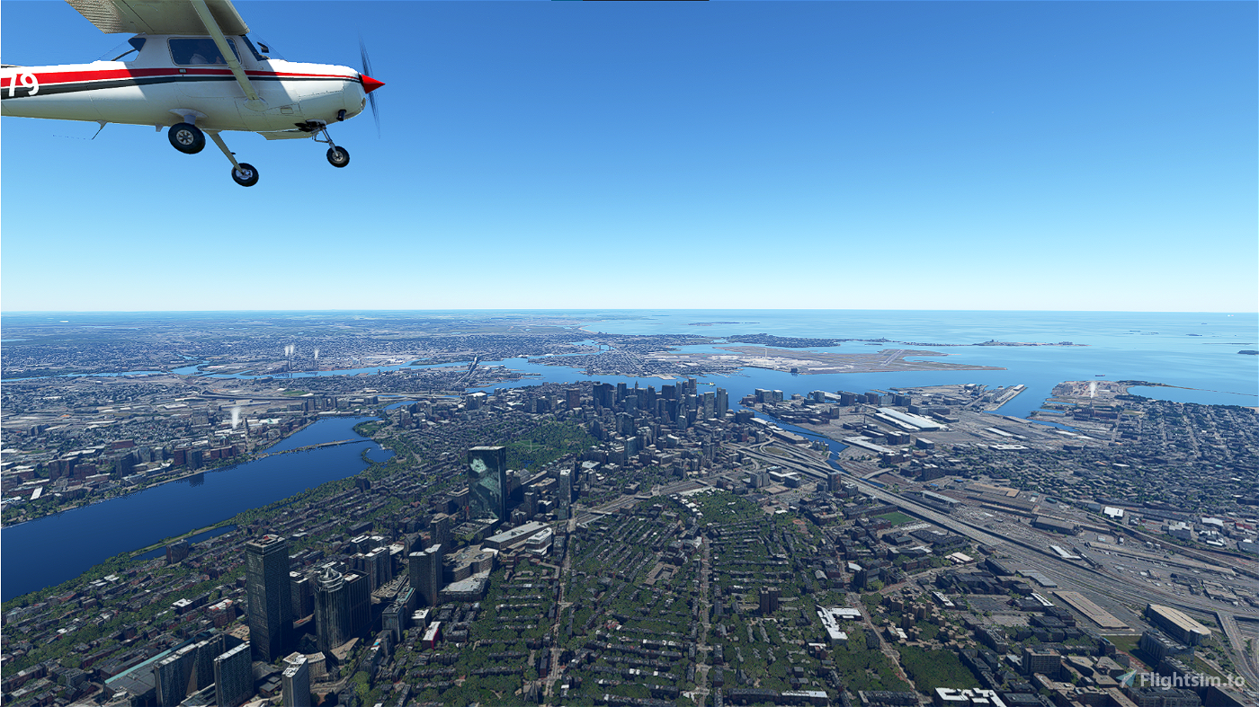
We cross the river via the Boston University Bridge, then over the B.U. campus and Kenmore Square (you won’t miss Fenway Park here).
The final stretch takes us around the southern end of Boston Public Garden and up between it and Boston Common. Here Route 2 ends, so we fly past the gold-domed Massachusetts State House, over the harbor, and into Logan.

 newtestleper


I traveled the NE USA for 25 years and always loved the drive, and the motorcycle ride, from Albany across 2 into New England. I would go out of my way from my home base in southern New Jersey up I-87, then pick up 7 and then 2 from Troy, NY, to Greenfield, MA. and then various routes to Laconia for races and events! Have to check it out now by air! Thank you for rekindling memories!
3 years ago
Very nice! I'm guessing you did it in different parts of the year too. Foliage and all that...
3 years ago
newtestleper
fppilot
Pre-Covid, you could look up and see the airliners one after the other lined up along Rt 2 all heading into Logon all the way to western MA
3 years ago
Interesting! I didn’t see that in my time down there. Maybe it was more of a weekend thing?
3 years ago
newtestleper
FlyingsCool