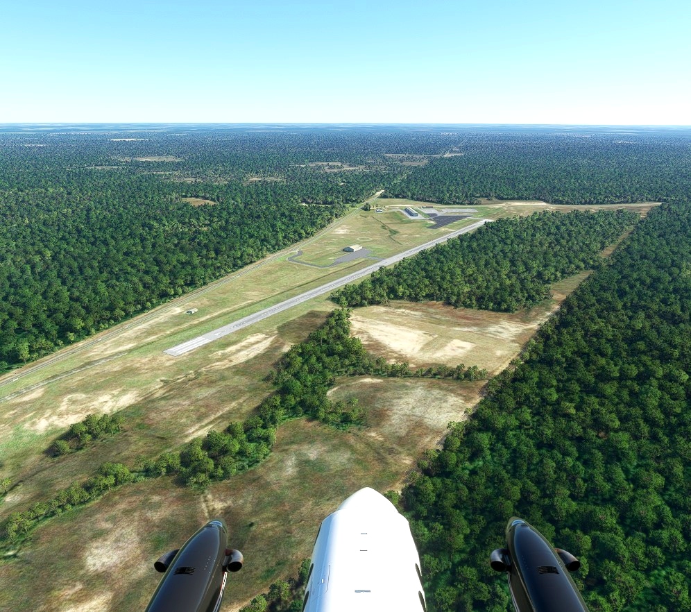
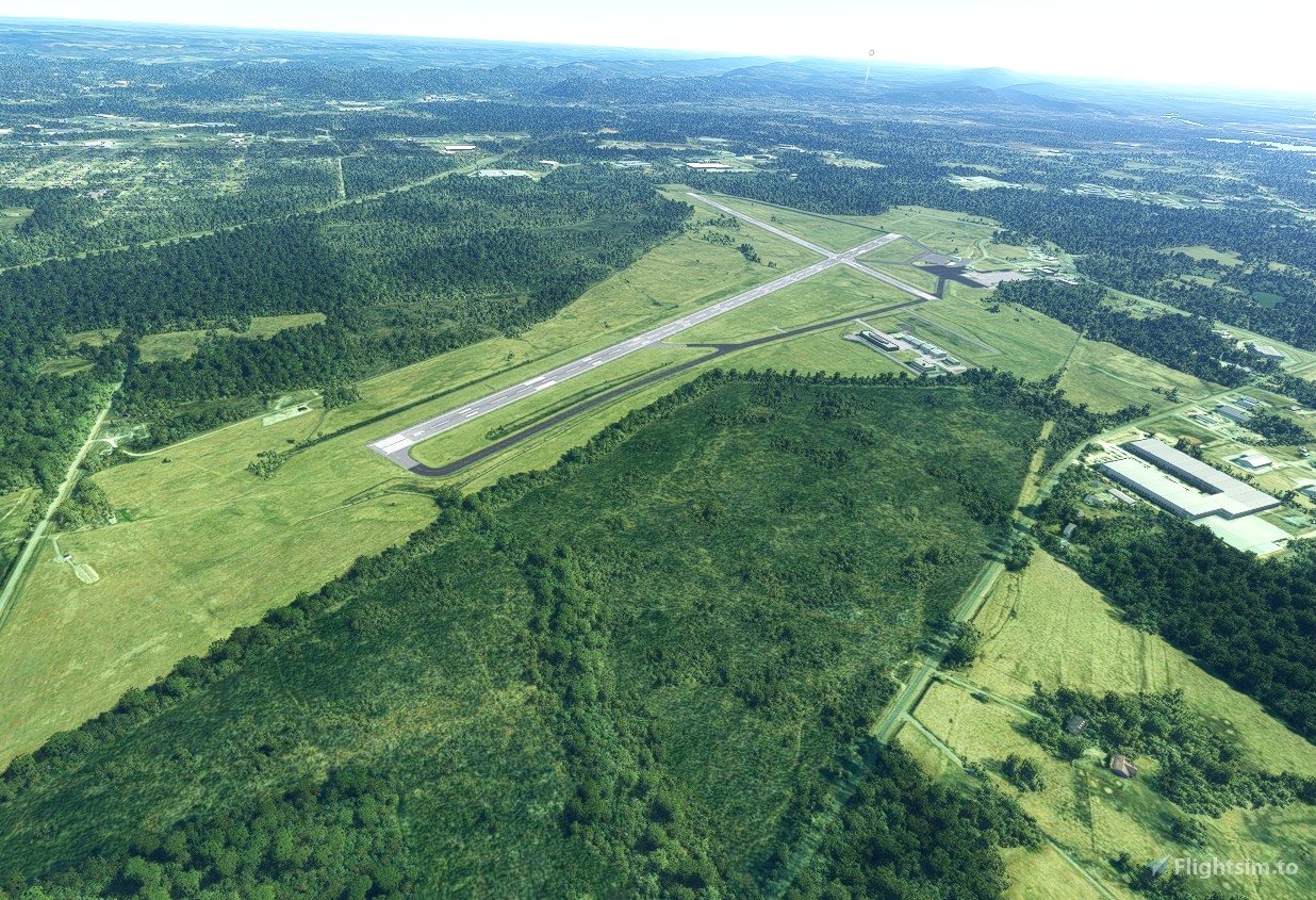
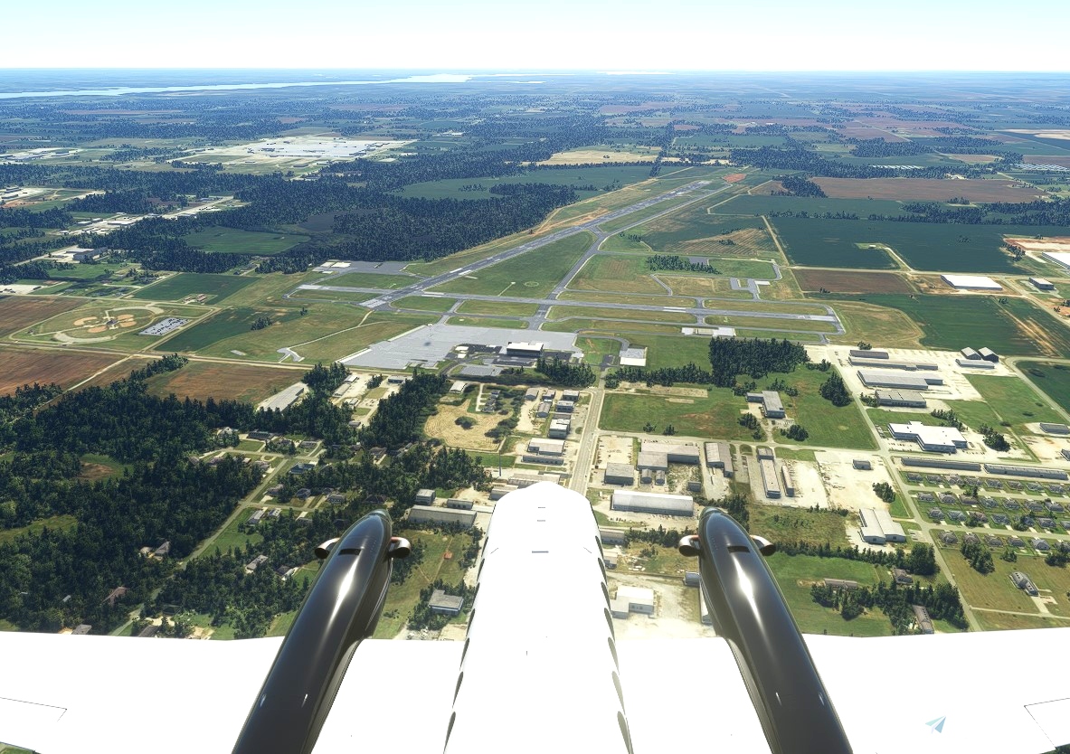
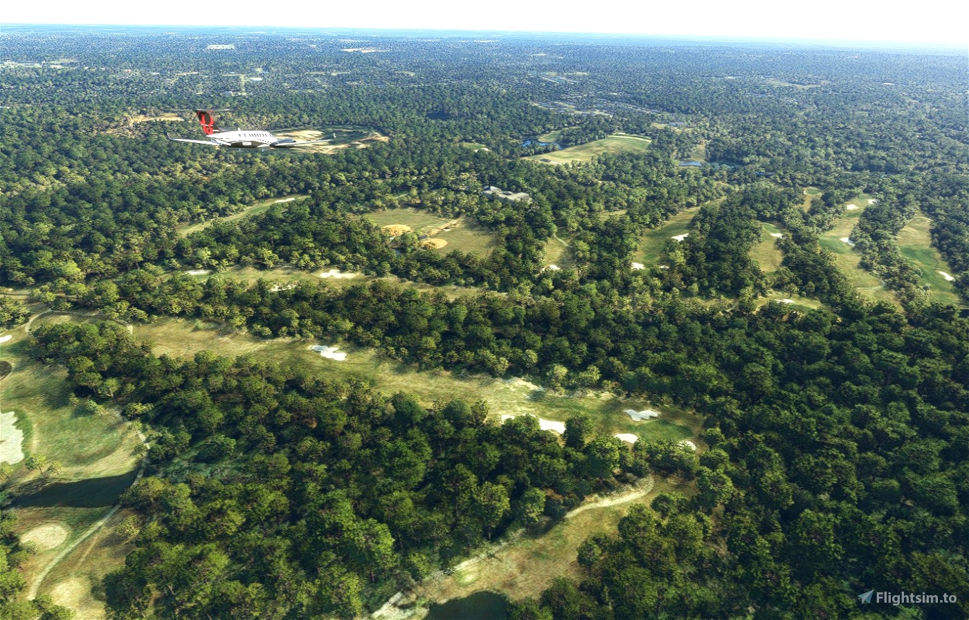
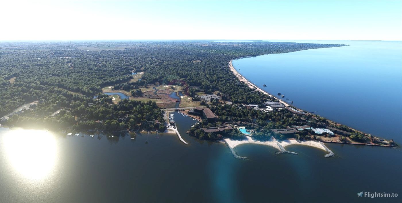
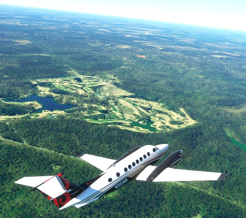

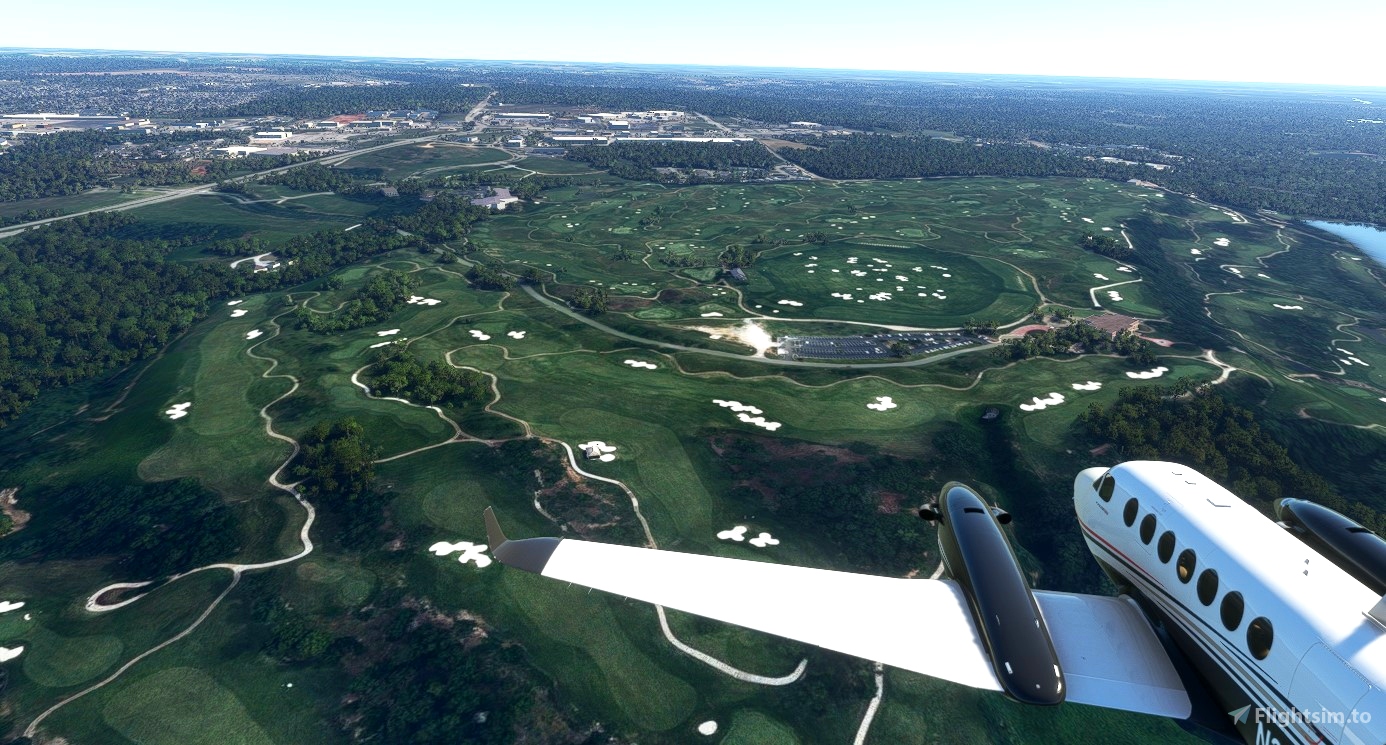
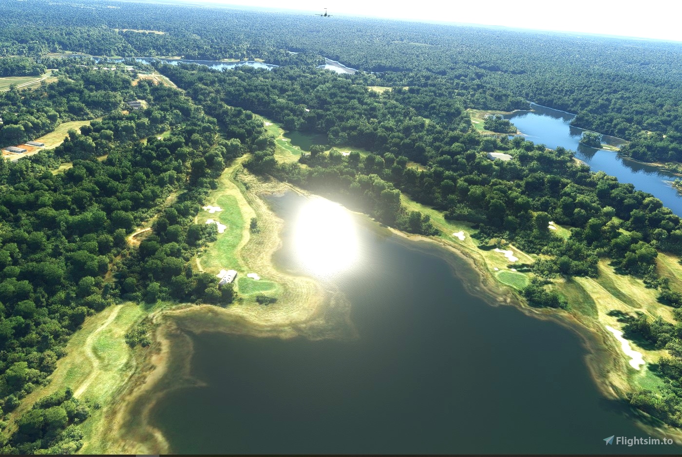
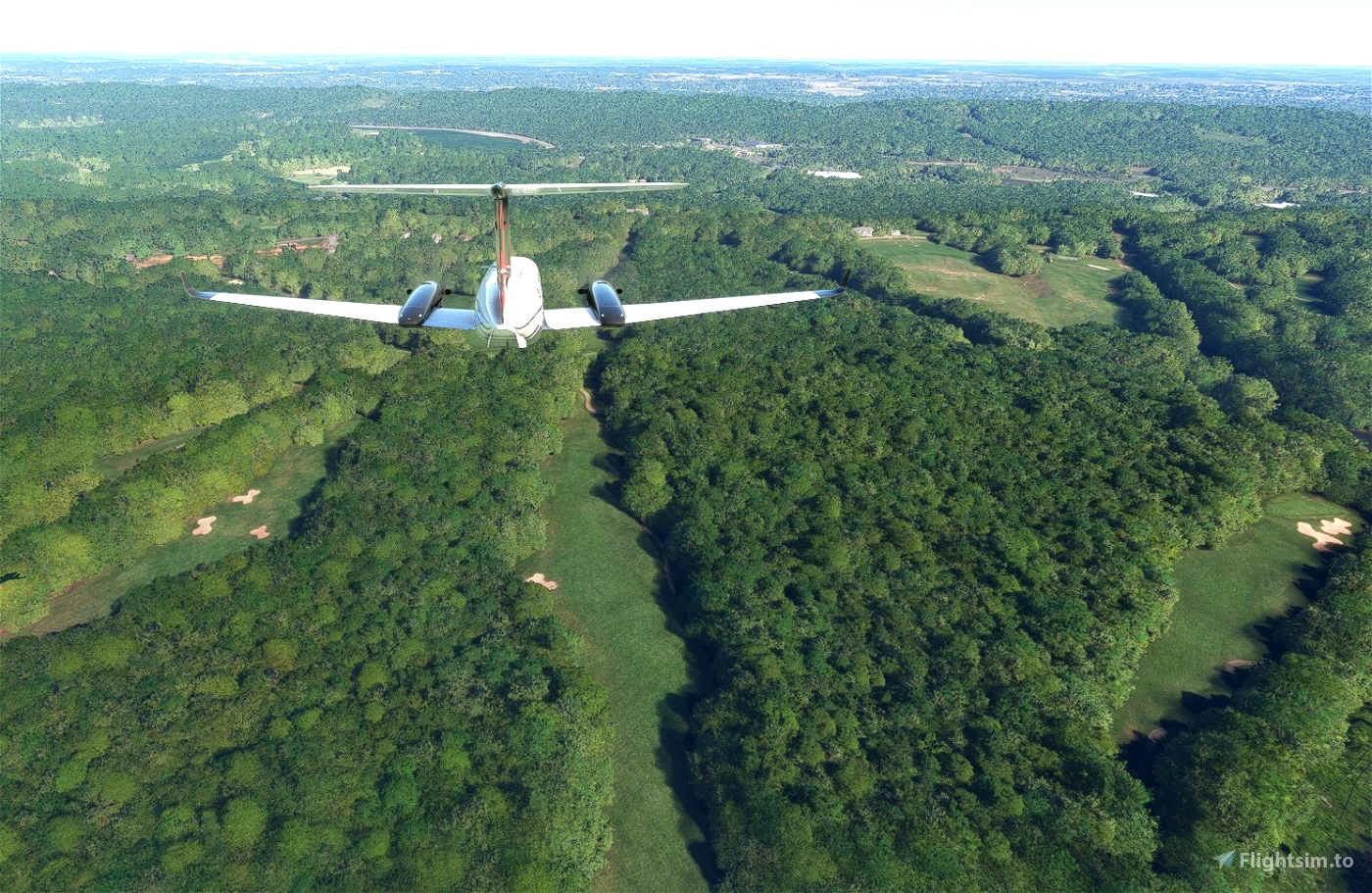
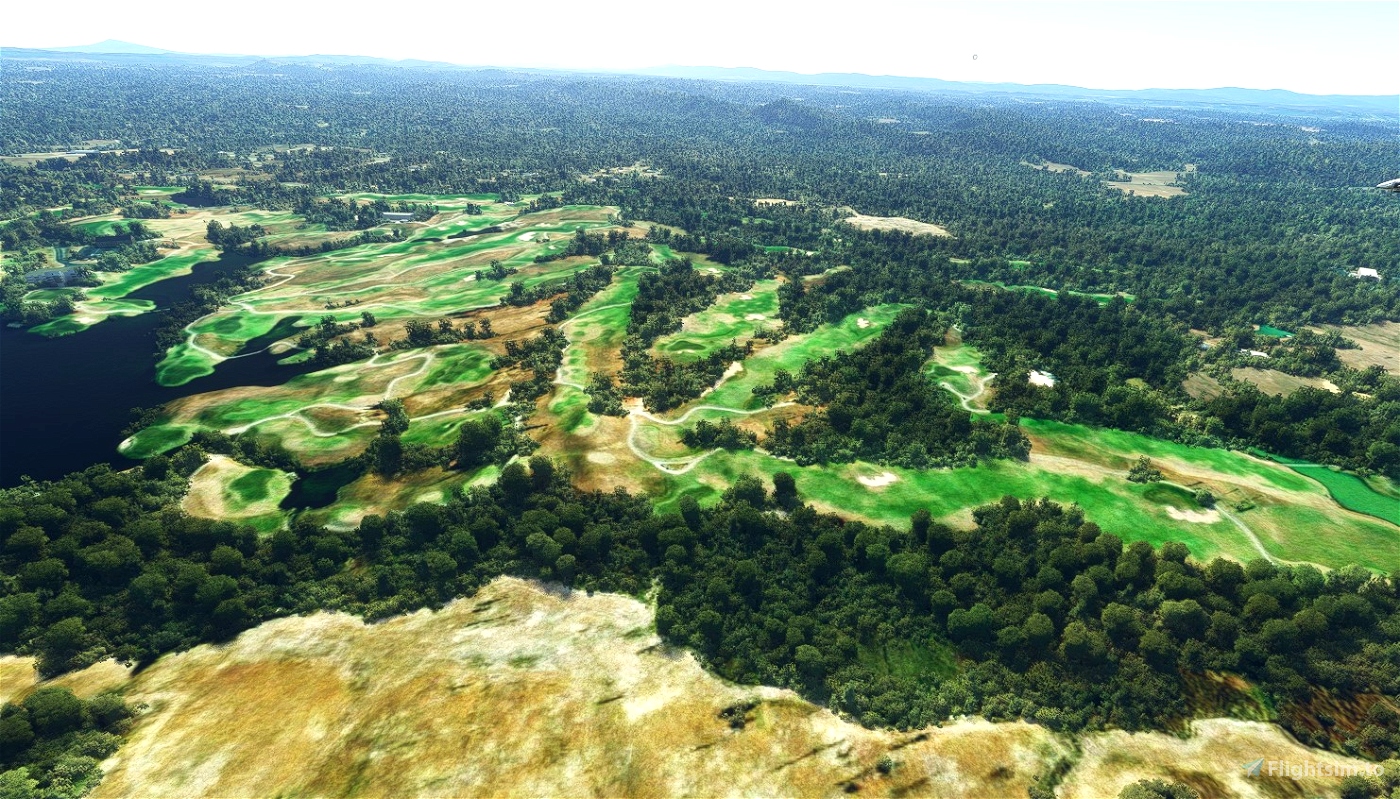
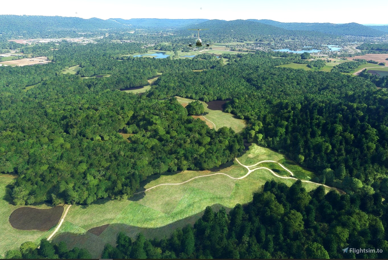
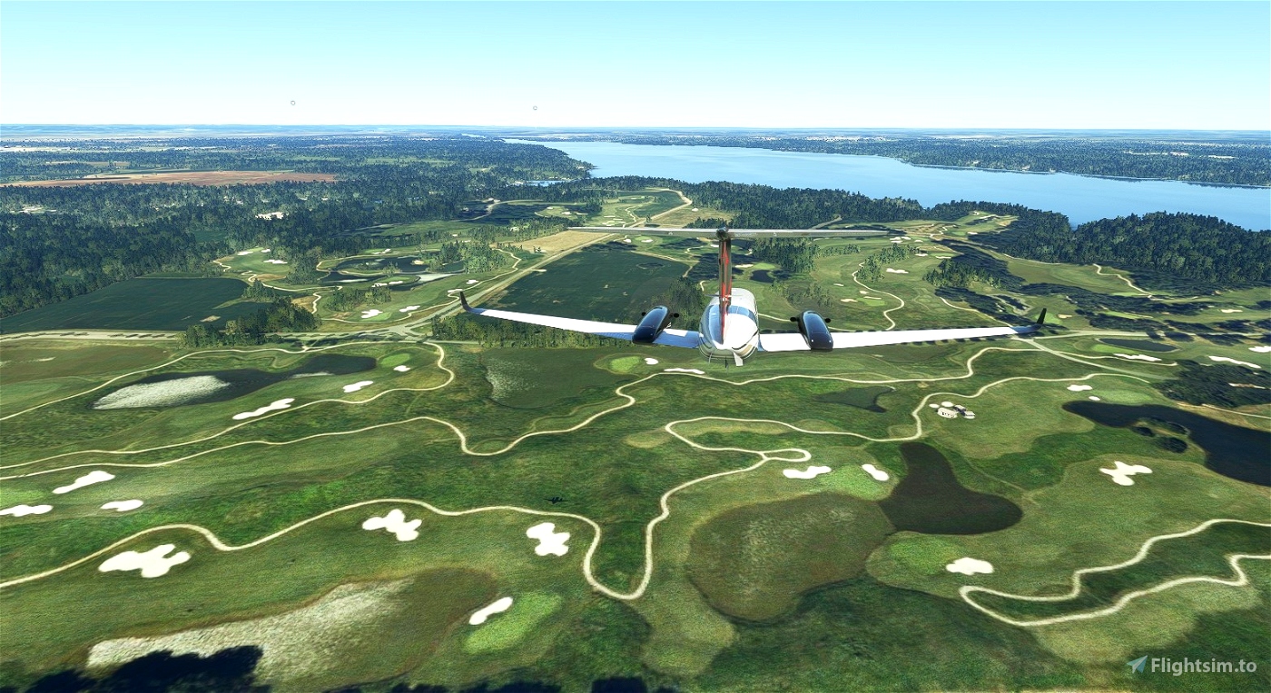
Enjoy an aeronautic round of golf! This Bush Trip takes you from southern Alabama (Mobile) to northern Alabama (Huntsville). You will fly over 10 of the golf courses on the Robert Trent Jones Golf Trail. When you leave Mobile, Alabama Airport, taxi to the east following the taxiway directly in front of you to runway 36 at the far eastern side of the airport. Takeoff to the north gaining an altitude of 2000 ft AGL. Fly the heading of approximately 32 to get to the first course which comes up very quickly. The Navlog provides good instructions and headings for each of the courses. As you near each course you should hear a description of the course you are flying over. Feel free to circle each course before flying on to the next.
I find it very useful to have Little NavMap running on my second screen to help me keep track of where I am. I certainly wish that the Flight Plan and GPS would work throughout the flight, but, after leg 1 the GPS is no longer active for the other legs unless you don't stop and fly the entire bush trip in one sitting. But, if you follow the nav log information, you should be able to locate each of the courses in the Robert Trent Jones Golf Trail.
I want to give special thanks to BuffyGC and Frontech for their help in setting me straight on some difficult programming problems.
Good luck and enjoy your day of golf!

 wfrayer


Yep . I think we are back to normal. Just loaded Angola South up and things seem to work in that one too.
Now anyone want to take a guess how many DAYS it'll be before they screw something else up, and then how many MONTHS it'll be before they fix it?
2 years ago
sparky147
Hey guys , I think they fixed it . Have been doing a couple of legs and I don't seem to have to use the long procedure to get the Gps coarse back in the next leg . And there seems to be only 4 tabs now when you complete the leg. (Back -Restart - Back to main Menu - Continue ) If I remember right there used to be 5 . When finishing the leg I just click Continue . Now the landing and takeoff and my time seems to get entered in my logbook , And I can either continue or just quit and continue later and the GPS line is still available in the VFR map so I can use the AP and Nav . Haven't tried any other trips so not sure, But things seem to be Hunky Dory with this one , Will wonders never cease . 'eh . ( As we say in Canada )
2 years ago
sparky147
Hi Wfrayer,
It is a very nice trip. I enjoyed flying. Had to turn the volume up to understand alll text. Neatly done.
The trick Sparky147 describes, works like a charm. Al legs with GPS.
Again thanks. Looking forward to your next trip.
Frontech
2 years ago
Frontech
If you want to try it here's the process
Ok sorry if this seems a little long , but it's the only way I know . if you want to get your take-off and landing and your time credited in your log book and profile
1 , When you finish the leg your are doing and get it checked as completed click NEXT
2. Now , don't click Continue ,, Click Back to Main Menu
3. On warning screen click Continue
This will record your take-off and landing and credit you with the minutes flown in your logbook and profile.
4 Now click Activities and go to where your trip is (in custom content or Bush Trips)
5 , Now open your trip again.
6. Now go back and click on the leg you just completed.
7. Click Restart From
8 Click Ready To Fly
9 Wait for it to load and the VFR map to come up and the GPS line to appear on the map.
10. Now hit ESC on your keyboard
11 , Now Activities again
12 Go to the trip you are working on
14 Now click on the new leg you are wanting to do
15 Now click Restart From
16 . Now click Ready to Fly
2 years ago
Thanks sparky147. I will give it a try. It shouldn't be that tedious, but then we don't program for MSFS '-)
2 years ago
wfrayer
sparky147
There is a way to get the Flight Plan and Gps coarse back for subsequent legs. It's a little long process but I use it all the time. Haven't tried it with this one yet so not sure if it works with this one but don't see why it shouldn't
2 years ago
sparky147